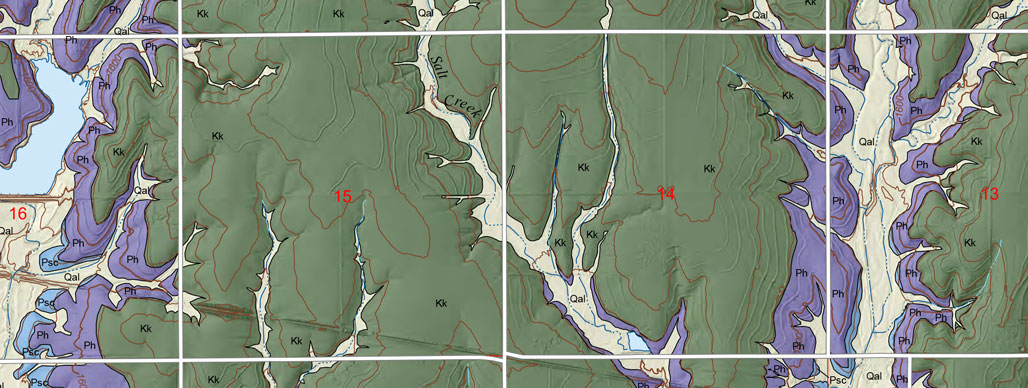
Quadrangle Maps
As part of U.S. Geological National Cooperative Geologic Mapping Program (STATEMAP), the KGS has produced 7 1/2 minute quadrangle maps as part of the county geologic mapping project.
2013 || 2014 || 2015 || 2016 || 2017 || 2018 || 2019
Sawin, R.S., and Dunham, J.W., 2017, Preliminary surficial geology of the Lincoln County portion of the Ada Quadrangle, Kansas: Kansas Geological Survey, Open-file Report 2017-11, 1 sheet, scale 1:24,000, unpublished [PDF available online]
Sawin, R.S., and Dunham, J.W., 2017, Preliminary surficial geology of the Lincoln County Portion of the Ash Grove Quadrangle, Kansas: Kansas Geological Survey, Open-file Report 2017-12, 1 sheet, scale 1:24,000, unpublished [PDF available online]
Sawin, R.S., and Dunham, J.W., 2017, Preliminary surficial geology of the Lincoln County Portion of the Barnard Quadrangle, Kansas: Kansas Geological Survey, Open-file Report 2017-13, 1 sheet, scale 1:24,000, unpublished [PDF available online]
Sawin, R.S., and Dunham, J.W., 2017, Preliminary surficial geology of the Lincoln County Portion of the Hunter Quadrangle, Kansas: Kansas Geological Survey, Open-file Report 2017-14, 1 sheet, scale 1:24,000, unpublished [PDF available online]
Sawin, R.S., and Dunham, J.W., 2017, Preliminary surficial geology of the Lincoln County Portion of the Lincoln NW Quadrangle, Kansas: Kansas Geological Survey, Open-file Report 2017-15, 1 sheet, scale 1:24,000, unpublished [PDF available online]
Sawin, R.S., and Dunham, J.W., 2017, Preliminary surficial geology of the Lincoln County Portion of the Tescott Quadrangle, Kansas: Kansas Geological Survey, Open-file Report 2017-16, 1 sheet, scale 1:24,000, unpublished [PDF available online]
Sawin, R.S., and Dunham, J.W., 2017, Preliminary surficial geology of the Lincoln County Portion of the Wilson NW and Wilson Quadrangles, Kansas: Kansas Geological Survey, Open-file Report 2017-17, 1 sheet, scale 1:24,000, unpublished [PDF available online]
Sawin, R.S., and Dunham, J.W., 2017, Preliminary surficial geology of the Shady Bend quadrangle, Lincoln County, Kansas: Kansas Geological Survey, Open-file Report 2017-18, 1 sheet, scale 1:24,000, unpublished [PDF available online]
Sawin, R.S., and Dunham, J.W., 2017, Preliminary surficial geology of the Wilson NE quadrangle and the Lincoln County portion of the Black Wolf quadrangle, Kansas: Kansas Geological Survey, Open-file Report 2017-19, 1 sheet, scale 1:24,000, unpublished [PDF available online]
Layzell, A.L., Mandel, R.S., Newell, K.D., and Dunham, J.W., 2017, Preliminary surficial geology of Miami County, Kansas: Kansas Geological Survey, Open-file Report 2017-20, 1 sheet, scale 1:50,000, unpublished [PDF available online]
Johnson, W.C., Schlagel, N.A., and Dunham, J.W., 2017, Preliminary surficial geology of the Little River quadrangle and the Rice County portion of the Crawford quadrangle, Kansas: Kansas Geological Survey, Open-file Report 2017-21, 1 sheet, scale 1:24,000, unpublished [PDF available online]
Johnson, W.C., Schlagel, N.A., and Dunham, J.W., 2017, Preliminary surficial geology of the Lyons SE quadrangle, Rice County, Kansas: Kansas Geological Survey, Open-file Report 2017-22, 1 sheet, scale 1:24,000, unpublished [PDF available online]
Johnson, W.C., Schlagel, N.A., and Dunham, J.W., 2017, Preliminary surficial geology of the Rice County portion of the Windom SW quadrangle, Kansas: Kansas Geological Survey, Open-file Report 2017-23, 1 sheet, scale 1:24,000, unpublished [PDF available online]
Johnson, W.C., Schlagel, N.A., and Dunham, J.W., 2017, Preliminary surficial geology of the Rice County portions of the Windom and Langley quadrangles, Kansas: Kansas Geological Survey, Open-file Report 2017-24, 1 sheet, scale 1:24,000, unpublished [PDF available online]