Quadrangle Maps
As part of U.S. Geological National Cooperative Geologic Mapping Program (STATEMAP), the KGS has produced 7 1/2 minute quadrangle maps as part of the county geologic mapping project.
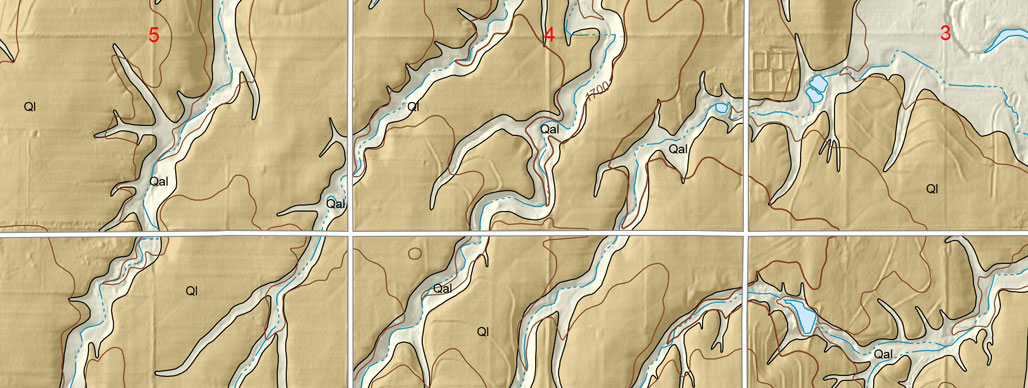
2013 || 2014 || 2015 || 2016 || 2017 || 2018 || 2019
Johnson, W.C., and Koop, A.N., 2015, Preliminary surficial geology of the Rice County portion of the Alden quadrangle, Kansas: Kansas Geological Survey, Open-file Report 2015-5, 1 sheet, scale 1:24,000, unpublished [PDF available online]
Johnson, W.C., and Koop, A.N., 2015, Preliminary surficial geology of the Rice County portion of the Alden NW quadrangle, Kansas: Kansas Geological Survey, Open-file Report 2015-6, 1 sheet, scale 1:24,000, unpublished [PDF available online]
Johnson, W.C., and Koop, A.N., 2015, Preliminary surficial geology of the Chase quadrangle, Rice County, Kansas: Kansas Geological Survey, Open-file Report 2015-8, 1 sheet, scale 1:24,000, unpublished [PDF available online]
Johnson, W.C., and Koop, A.N., 2015, Preliminary surficial geology of the Rice County portion of the Chase NW and Holyrood quadrangles, Kansas: Kansas Geological Survey, Open-file Report 2015-9, 1 sheet, scale 1:24,000, unpublished [PDF available online]
Johnson, W.C., and Koop, A.N., 2015, Preliminary surficial geology of the Rice County portion of the Sterling quadrangle, Kansas: Kansas Geological Survey, Open-file Report 2015-10, 1 sheet, scale 1:24,000, unpublished [PDF available online]
Mandel, R.D., and Newell, K.D., 2015, Preliminary surficial geology of the Paola East quadrangle, Miami County, Kansas: Kansas Geological Survey, Open-file Report 2015-11, 1 sheet, scale 1:24,000, unpublished [PDF available online]
Mandel, R.D., and Newell, K.D., 2015, Preliminary surficial geology of the Paola West quadrangle, Miami County, Kansas: Kansas Geological Survey, Open-file Report 2015-12, 1 sheet, scale 1:24,000, unpublished [PDF available online]
Smith, J.J., 2015, Preliminary surficial geology of the Haskell County portion of the Hickock NE quadrangle, Kansas: Kansas Geological Survey, Open-file Report 2015-15, 1 sheet, scale 1:24,000, unpublished [PDF available online]
Smith, J.J., 2015, Preliminary surficial geology of the Haskell County portion of the West of Wild Horse Lake quadrangle, Kansas: Kansas Geological Survey, Open-file Report 2015-16, 1 sheet, scale 1:24,000, unpublished [PDF available online]
Smith, J.J., 2015, Preliminary surficial geology of the Haskell County portion of the Wild Horse Lake quadrangle, Kansas: Kansas Geological Survey, Open-file Report 2015-17, 1 sheet, scale 1:24,000, unpublished [PDF available online]