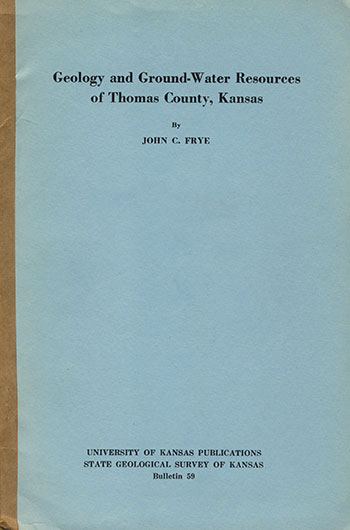
Geology and Ground-water Resources of Thomas County, Kansas
by John C. Frye

Originally published in 1945 as Kansas Geological Survey Bulletin 59. This is, in general, the original text as published in 1945. The information has not been updated. An Acrobat PDF version (19.5 MB) is also available.
You may also wish to visit our web site on the Thomas County geologic map.
Abstract
This report describes the geography, geology, and groundwater resources of Thomas County in northwestern Kansas. The hydrologic and geologic information was obtained in the field during the summers of 1942, 1943, and 1944. Depths and water levels were determined in 114 wells, and 29 test holes were drilled to determine the thickness and character of the water-bearing sand and gravel. Special attention was given to wells having large capacities, and pumping tests were made on four of the nine irrigation wells in the county. The data obtained from well measurements were utilized to plot water-table and depth to water maps of the county. The surficial deposits were studied in the field and a geologic map prepared.
The county lies in the High Plains section of the Great Plains physiographic province. It is drained by the Saline and Solomon rivers, tributaries to the Smoky Hill River, and by Prairie Dog and Sappa creeks, tributaries to the Republican River. For the most part the topography is a flat to gently rolling plain that slopes from west to east. The climate is sub-humid to semiarid, the average annual precipitation being about 18 inches. Nearly all of the county is farm land and wheat is the principal crop.
Although Cretaceous rocks do not crop out any place in the county, the Pierre shale of Upper Cretaceous age underlies the entire county at relatively shallow depths. The Ogallala formation of Pliocene age overlies the Pierre shale and is the principal water-bearing formation of Thomas County. It crops out along the sides of the major valleys. The Sanborn formation overlies the Ogallala and is the surface formation in most of the upland areas of the county. Slope deposits of Recent age are derived from the unconsolidated beds and locally merge with the Sanborn and the alluvium. Thin deposits of alluvium of Recent age occur along the major valleys.
There are no permanently flowing surface streams in Thomas County. However, there is an abundance of ground water in most of the area and wells supply nearly all the water used in the county. Most of the wells obtain water from the Ogallala formation. In the county there are three city supplies (Brewster, Colby, and Rexford), several railroad wells, and nine irrigation wells. Pumping tests were made on four of the irrigation wells. The yields ranged from 295 to 1,021 gallons a minute and the specific capacities ranged from 11.2 to 56.5. The static water levels of the irrigation wells range from about 13 feet to about 130 feet. Conditions seem favorable for the expansion of irrigation developments along parts of the valleys of South Sappa creek, Prairie Dog creek, and the Solomon and Saline rivers. Certain areas on the uplands in the eastern, northern, and central parts of the county may also prove to be favorable for irrigation. The uplands in the southwestern part of the county, however, do not present favorable conditions for well irrigation. Analyses of 27 samples of ground water are given, together with a discussion of the principal chemical constituents in relation to the use and geologic occurrence of the water. All the ground waters produced in the county are satisfactory for most ordinary purposes, but some are sufficiently hard to require softening for special uses.
Tabulated records of 114 water wells in all parts of the county and logs of 30 test holes and wells are given.
Kansas Geological Survey, Thomas County Geohydrology
Web version Nov. 2001. Original publication date Dec. 1945.
Comments to webadmin@kgs.ku.edu
The URL for this page is http://www.kgs.ku.edu/General/Geology/Thomas/index.html