![]()
Geology and Ground-water Resources of Johnson County, Northeastern Kansas
by Howard G. O'Connor
Originally published in 1971 as Kansas Geological Survey Bulletin 203. This is, in general, the original text as reprinted in 1986. The information has not been updated.
An Acrobat PDF version (17 MB) is also available, with map available separately. You may also wish to visit our web site on the Johnson County geologic map.
Abstract
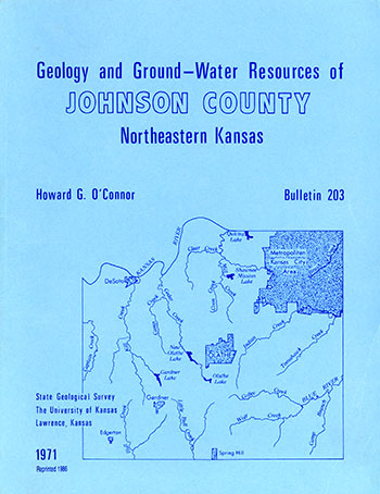
Johnson County, Kansas, an area of 478 square miles, had a population of 217,662 in 1970. Oil and gas, sand and gravel, and limestone are produced commercially. Limestone is the most important mineral resource, valued at $1,827,000 in 1966, and the Wyandotte Limestone is the most important limestone unit. In addition, water is marketed commercially, but dollar values are not available.
The rocks above the Precambrian basement are 2,150 to 2,550 feet thick in Johnson County and are all sedimentary in origin. They include rocks of Cambrian, Ordovician, Devonian, Mississippian, Pennsylvanian, Cretaceous (?), and Quaternary age. The exposed rocks of Pennsylvanian, Cretaceous (?), and Quaternary age are about 700 feet thick.
The outcropping Pennsylvanian rocks have an aggregate thickness of about 500 feet and consist chiefly of alternating shale and limestone units ranging from about 2 to 100 feet in thickness, and minor amounts of fine-grained sandstone. The fresh or slightly saline water supplies available from these rocks are small; well yields average less than 10 gallons per minute, but yields as great as 50 gallons per minute are known. Wells obtain fresh to slightly saline water at a depth of 250 feet or less, but locally groundwater at depths of less than 100 feet is moderately saline. The chemical quality of groundwater pumped by domestic and stock wells from bedrock aquifers ranges from excellent to poor, but many of the bedrock wells yield water that is more mineralized than groundwater pumped from unconsolidated Pleistocene deposits.
Wisconsinan and Recent alluvial deposits 40 to 70 feet thick in the Kansas River valley yield the largest supplies of groundwater in the county. Irrigation, industrial, and municipal wells pump water at rates of 150 to 1,000 gallons per minute from the Kansas River alluvium. Alluvial deposits in the smaller stream valleys range from about 20 to 75 feet in thickness. Wells yield 25 to 100 gallons per minute from deposits in the larger tributary valleys and 1 to 10 gallons per minute in the smaller tributary valleys. Kansan deposits, chiefly Atchison Formation and undifferentiated fluvial deposits, are extensive enough southwest of DeSoto and near Holliday to comprise a significant aquifer capable of yielding 1 to 10 gallons per minute to wells in the area. Locally 50 to 100 gallons per minute can be obtained. Groundwater from the Pleistocene aquifers is good except for high carbonate hardness and generally excessive iron content.
Water pumped from wells in the Pennsylvanian rocks has a much greater range in chemical quality than groundwater in the Pleistocene aquifers; the very shallow wells generally yield water that is hard but otherwise of good quality. Wells tapping aquifers at depths of 50 to 250 feet yield water of generally poorer quality than wells tapping the shallow aquifers.
The dominant regional structure is the Prairie Plains monocline of post-Permian pre-Cretaceous age. The surface rocks in Johnson County dip northwestward at an average rate of about 12 feet per mile. The regional structure is modified across the central part of the county by the northeast-trending Gardner anticline.
Kansas Geological Survey, Johnson County Geohydrology
Web version April 2002. Original publication date Dec. 1971.
Comments to webadmin@kgs.ku.edu
The URL for this page is http://www.kgs.ku.edu/General/Geology/Johnson/index.html