![]()
Prev Page--Stratigraphy--Quaternary || Next Page--Stratigraphy--Permian
Stratigraphy of Outcrops, continued
Tertiary System
Chert gravels east of the Flint Hills have been considered at various times and by various persons as having represented (1) scattered remnants of a once vast peneplain covered with essentially residual chert gravels, (2) dissected remnants of stream terrace deposits, and (3) the results of the last marine submergence of the area in which wave and current action distributed the resistant chert of the "Carboniferous" limestones into the widely distributed deposits of today (West, 1885).
Although many problems concerning these high-level chert gravel deposits remain, certain conclusions can be drawn from the facts now known. Recent studies in Chase, Lyon, Elk, and Wilson counties indicate that the high-level chert gravels have a linear pattern as would be produced by streams, and that both the pre-Kansan and Kansan or younger gravels closely parallel modern major drainage lines in the upper parts of the drainage systems. Along Neosho and Verdigris drainage east and southeast of Lyon County, reconnaissance studies indicate that the high-level gravels diverge from the present drainage trend to continue in an easterly direction.
Similarly the high-level chert gravels near their source beds in the Flint Hills occur in high relative positions of topography, but considerably lower than the highest elements of topography. As they are traced eastward their position in local topography becomes higher and higher. Easternmost chert gravel deposits in Anderson County, Kansas, occur on the highest topographic position of the area.
Present data also indicate that there are probably three separate levels of these dissected chert gravel terrace deposits older than Kansan. In Lyon County they occur at levels of approximately 70 to 80 feet, 90 to 100 feet, and the highest and least well preserved deposits at 150 feet above the present alluvial floodplain surface.
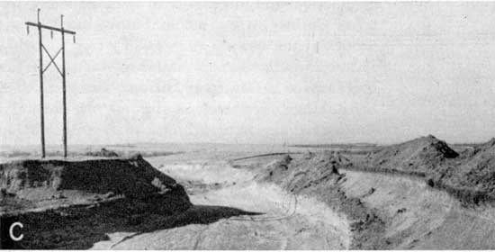
The deposits consist of siliceous sand and gravel, principally chert fragments derived from the cherty lower Permian limestones exposed in the Flint Hills, together with quartz sand and sufficient deep brownish-red clay to bind the material together. In most occurrences the sand and gravel is covered by less than 1 foot of clay and silt; frequently the sand and gravel occurs directly at the surface (Pl. 4C and G).
Plate 4C--Quarry in Tertiary terrace gravel (upper 8 to 12 feet) and sandstone of Pierson Point-Willard shale (lower part of quarry), NW NE sec. 5, T. 19 S., R. 12 E.
Thickness of the gravels ranges from a few inches to about 15 feet. No fossils have been found in any of these high gravel deposits which would indicate their age. They are lithologically similar and completely leached of all calcareous material. For these reasons all the terrace gravel deposits older than the Emporia terrace (Kansan) are mapped together on Plate 1.
It is probable that the lower of these high terrace deposits is Nebraskan in age. However, because of lack of evidence with which to date any of the high terrace gravel, other than relative topographic position, no attempt has been made to differentiate them.
They are generally above the water table and are of little importance as a source of ground water.
Prev Page--Stratigraphy--Quaternary || Next Page--Stratigraphy--Permian
Kansas Geological Survey, Lyon County Geohydrology
Web version Sept. 2001. Original publication date March 1953.
Comments to webadmin@kgs.ku.edu
The URL for this page is http://www.kgs.ku.edu/General/Geology/Lyon/pt1_tert.html