![]()
Back to Ground-water Discharge || Back to Availability
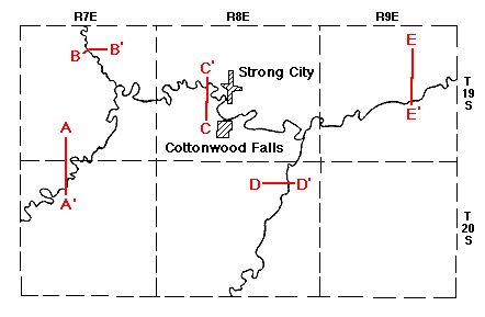
Figure 3
Figure 3--Geologic cross sections across the Cottonwood River Valley, South Fork of the Cottonwood River Valley, and Diamond Creek Valley.
Back to Ground-water Discharge || Back to Availability
Kansas Geological Survey, Chase County Geohydrology
Placed on web March 2001; originally published Aug. 1951.
Comments to webadmin@kgs.ku.edu
The URL for this page is http://www.kgs.ku.edu/General/Geology/Chase/fig3.html