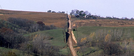
Missouri River Monitoring Well Network
In 2018, the KGS took over ownership of a network of wells, origionally installed by the USGS in 2011, in the Missouri Regional Planning Area (MRPA) to help better understand the groundwater resources in the Missouri River basin within Kansas. Depth-to-water measurements are taken periodically throughout the year and several of the sites have been equipped to provide continuously recorded water levels in near real-time. Funding for the project is through the Kansas Water Plan Fund..
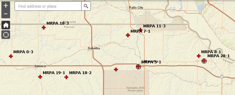
Interactive Map
Use our interactive map to explore the data received, or use the data links below.
Data
- Site 0-3, Northern Nemaha County along stateline
- Wizard well page
- Site 18-2, Nemaha County southeast of Seneca
- Wizard well page
- Site 19-1, Nemaha County south of Seneca
- Wizard well page
- Site 18-3, Nemaha County north of Baileyville
- Wizard well page
- Sabetha
- Wizard well page
- Continuous Measurements
- Site 31-1, Brown County between Fairview and Hiwatha
- Wizard well page
- Site 5-1, Brown County west of Hiawatha
- Wizard well page
- Continuous Measurements
- Site 7-1, Brown County northwest of Hiawatha
- Wizard well page
- Site 11-3, Brown County north of Hiawatha
- Wizard well page
- Reserve
- Wizard well page
- Continuous Measurements
- Site 8-1, Doniphan County north of Highland
- Wizard well page
- Site 28-1, Doniphan County east of Highland
- Wizard well page
- Continuous Measurements