![]()
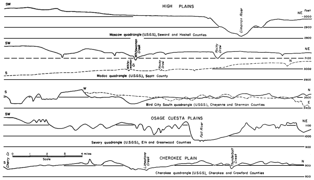
Figure 17--Surface profiles in High Plains, Osage Cuesta Plains, and Cherokee Plain. Profiles plotted from U.S. Geological Survey quadrangles of the 15-minute series. Adequate maps are not available to illustrate the topography of the other physiographic subdivisions of the State.
Kansas Geological Survey, Pleistocene Geology
Comments to webadmin@kgs.ku.edu
Web version August 2005. Original publication date Nov. 1952.
URL=http://www.kgs.ku.edu/Publications/Bulletins/99/fig17.html