![]()
Figure 15
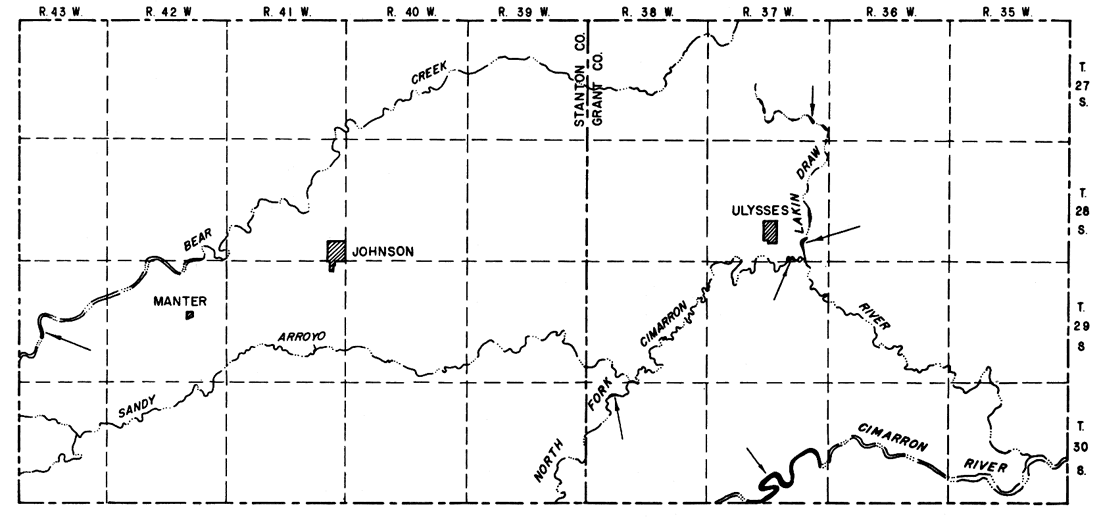
Figure 15--Map showing occurrence of phreatophytes in the Grant-Stanton area. (Areas of phreatophytes shown in black and indicated by arrows.)
Kansas Geological Survey, Geology
Placed on web July 23, 2007; originally published December 1964.
Comments to webadmin@kgs.ku.edu
The URL for this page is http://www.kgs.ku.edu/General/Geology/Stanton/fig15.html