


|
|
|
|
|
Kansas Geological Survey Seiemic Crew on Wilson Road
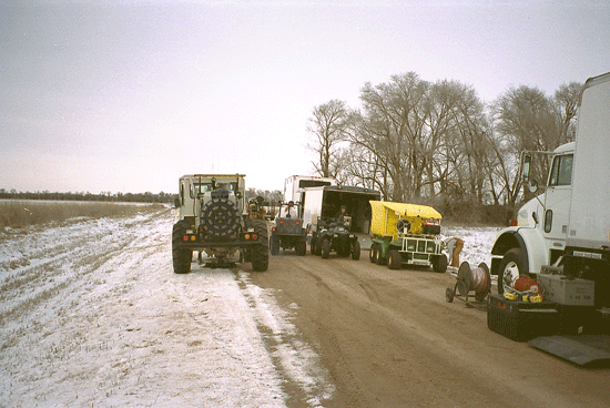
Seismic reflection is a method of creating an image of the subsurface without drilling into the ground. Seismic reflection begins with a series of vibrations that are created at the surface (in this case, with a specially equipped truck). Those vibrations go into the subsurface and reflect off of underground rock layers, then are recorded at the surface with microphone-like devices called geophones. Because different rock layers reflect the vibrations in different ways, that information can be compiled and computer-processed to create an image of the underground geology.
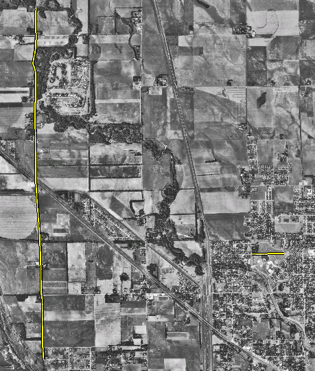
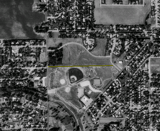
In Reno County, seismic data was collected along two lines (see images below). One was a north-south line between Hutchinson and Yaggy. The second was a much shorter, east-west line in Rice Park in the city of Hutchinson. One end of the second line was adjacent to a vent well that was flaring natural gas.
Locations of siesmic lines.
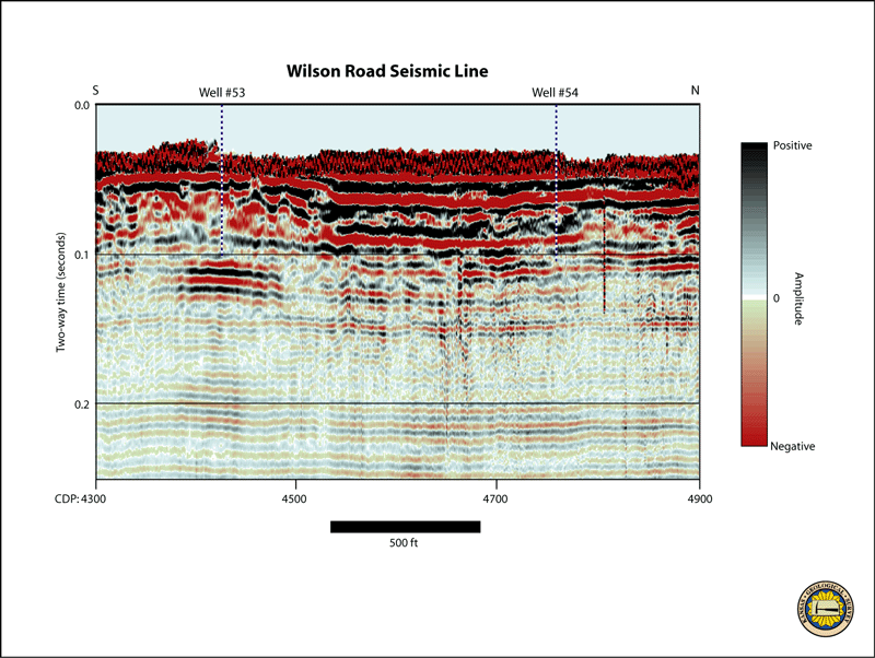
The north-south line is along Wilson Road; the west-east line is in Rice
Park.
Enlargement of Rice Park seismic line location map.
Based on initial interpretation of that seismic data, two additional vent wells (DDV#53 and DDV#54) were drilled along the north-south line. Both of those vented natural gas. See Drilling of Vent Wells.
Prev Topic--Gas Storage in Yaggy Field || Next Topic--Vent Well Drilling