![]()
Prev Page--Wyandotte Co. Sections
Plates
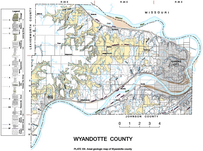
- Plate XIII--Areal geologic map of Wyandotte county, Kansas
- available as a jpeg file
- Plate XVIII--Stratigraphic sections along Kansas river
- available as an Acrobat PDF file, 2 MB
- Plate XIX--Stratigraphic sections in northern Wyandotte county
- available as an Acrobat PDF file, 65 kB
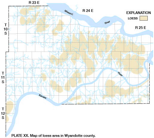
- Plate XX--Map of loess area in Wyandotte county
- available as a jpeg file
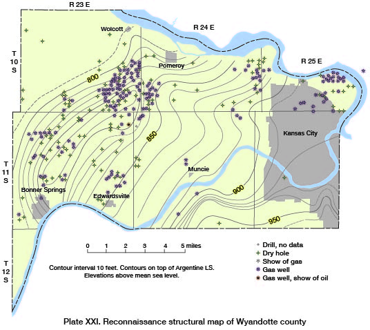
- Plate XXI--Reconnaissance structural map of Wyandotte county
- available as a jpeg file
- Plate XXII. Correlation of well records in northeastern Kansas
- available as an Acrobat PDF file, 2 MB
Prev Page--Wyandotte Co. Sections
Kansas Geological Survey, Geology
Placed on web Feb. 25, 2014; originally published May 1935.
Comments to webadmin@kgs.ku.edu
The URL for this page is http://www.kgs.ku.edu/General/Geology/Wyandotte/07_plates.html