Back to Differential Silt Infiltration
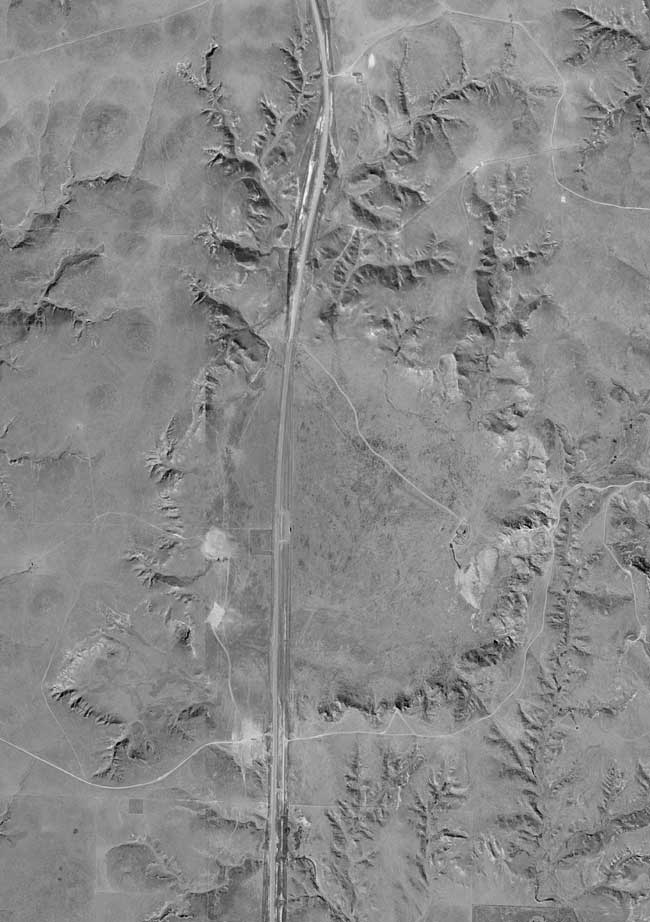
Plate 4--Modern aerial photograph of Big Basin and St. Jacob's well, in western Clark County (map from DASC, Data Access & Support Center).
Kansas Geological Survey, Geology
Placed on web September 2005; originally published March 15, 1951.
Comments to webadmin@kgs.ku.edu
The URL for this page is http://www.kgs.ku.edu/Publications/Bulletins/86_1/plate4.html