


Kansas Geological Survey, Open-file Report 2000-31
Figure 2
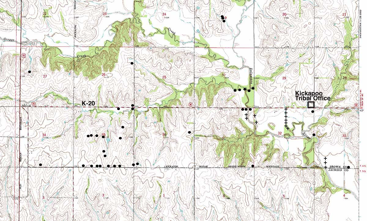
Figure 2. Distribution of test holes and test wells from earlier
investigations (dots) and the KGS investigation (plusses) in the southern
part of the Kickapoo Indian reservation.
Return to report
Kansas Geological Survey, Geohydrology
Placed online December 2000
Comments to webadmin@kgs.ku.edu
The URL for this page is HTTP://www.kgs.ku.edu/Hydro/Publications/OFR00_31/figure2.html