![]()
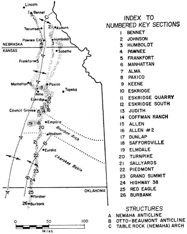
Figure 1
Figure 1.--Map of Red Eagle cyclothem outcrop belt showing locations of key sections and major structures.
Kansas Geological Survey, Geology
Placed on web Dec. 14, 2006; originally published Dec. 1963.
Comments to webadmin@kgs.ku.edu
The URL for this page is http://www.kgs.ku.edu/Publications/Bulletins/164/fig1.html