| Year | Oil | Gas | ||||
|---|---|---|---|---|---|---|
| Production (bbls) |
Wells | Cumulative (bbls) |
Production (mcf) |
Wells | Cumulative (mcf) |
|
| 1995 | 213,899 | 224 | 44,097,202 | 1,521,540 | 127 | 122,144,500 |
| 1996 | 210,579 | 178 | 44,307,781 | 1,694,274 | 203 | 123,838,774 |
| 1997 | 197,531 | 176 | 44,505,312 | 1,497,944 | 198 | 125,336,718 |
| 1998 | 165,781 | 155 | 44,671,093 | 1,411,273 | 199 | 126,747,991 |
| 1999 | 132,988 | 140 | 44,804,081 | 1,385,599 | 188 | 128,133,590 |
| 2000 | 143,025 | 140 | 44,947,106 | 1,235,647 | 185 | 129,369,237 |
| 2001 | 143,000 | 136 | 45,090,106 | 1,012,792 | 171 | 130,382,029 |
| 2002 | 156,174 | 135 | 45,246,280 | 951,999 | 159 | 131,334,028 |
| 2003 | 130,529 | 139 | 45,376,809 | 978,338 | 161 | 132,312,366 |
| 2004 | 118,527 | 137 | 45,495,336 | 751,834 | 165 | 133,064,200 |
| 2005 | 110,690 | 136 | 45,606,026 | 924,817 | 95 | 133,989,017 |
| 2006 | 117,970 | 138 | 45,723,996 | 940,513 | 106 | 134,929,530 |
| 2007 | 141,307 | 135 | 45,865,303 | 1,004,485 | 105 | 135,934,015 |
| 2008 | 151,834 | 140 | 46,017,137 | 967,870 | 113 | 136,901,885 |
| 2009 | 132,314 | 132 | 46,149,451 | 778,969 | 98 | 137,680,854 |
| 2010 | 189,037 | 141 | 46,338,488 | 677,891 | 85 | 138,358,745 |
| 2011 | 254,476 | 157 | 46,592,964 | 798,923 | 85 | 139,157,668 |
| 2012 | 248,080 | 169 | 46,841,044 | 691,028 | 101 | 139,848,696 |
| 2013 | 276,213 | 177 | 47,117,257 | 821,822 | 106 | 140,670,518 |
| 2014 | 369,226 | 196 | 47,486,483 | 757,807 | 115 | 141,428,325 |
| 2015 | 329,269 | 194 | 47,815,752 | 1,014,944 | 116 | 142,443,269 |
| 2016 | 253,128 | 184 | 48,068,880 | 897,767 | 100 | 143,341,036 |
| 2017 | 251,653 | 175 | 48,320,533 | 732,854 | 92 | 144,073,890 |
| 2018 | 259,497 | 175 | 48,580,030 | 505,760 | 86 | 144,579,650 |
| 2019 | 230,113 | 173 | 48,810,143 | 480,105 | 83 | 145,059,755 |
| 2020 | 176,325 | 155 | 48,986,468 | 406,870 | 79 | 145,466,625 |
| 2021 | 167,581 | 156 | 49,154,049 | 372,259 | 75 | 145,838,884 |
| 2022 | 144,227 | 153 | 49,298,276 | 366,101 | 71 | 146,204,985 |
| 2023 | 145,552 | 166 | 49,443,828 | 284,859 | 65 | 146,489,844 |
| 2024 | 136,718 | 160 | 49,580,546 | 373,999 | 56 | 146,863,843 |
| 2025 | 128,361 | 160 | 49,708,907 | 292,144 | 53 | 147,155,987 |
| 2026 | 30,600 | 135 | 49,739,507 | 61,295 | 43 | 147,217,282 |
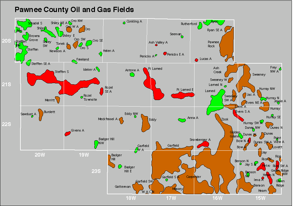

Abandoned
Anna
Ash Valley
Conkling
Garfield West
Helen
Ideker
Penicks
Ryan Southeast
Sawdust
Sweeney Southwest