| Year | Oil | Gas | ||||
|---|---|---|---|---|---|---|
| Production (bbls) |
Wells | Cumulative (bbls) |
Production (mcf) |
Wells | Cumulative (mcf) |
|
| 1995 | 143,760 | 161 | 41,499,913 | 379,484 | 62 | 38,628,037 |
| 1996 | 158,072 | 138 | 41,657,985 | 365,348 | 58 | 38,993,385 |
| 1997 | 163,021 | 132 | 41,821,006 | 331,755 | 60 | 39,325,140 |
| 1998 | 141,064 | 122 | 41,962,070 | 333,507 | 57 | 39,658,647 |
| 1999 | 136,517 | 120 | 42,098,587 | 295,316 | 54 | 39,953,963 |
| 2000 | 134,502 | 125 | 42,233,089 | 265,328 | 50 | 40,219,291 |
| 2001 | 140,650 | 126 | 42,373,739 | 271,750 | 49 | 40,491,041 |
| 2002 | 144,804 | 129 | 42,518,543 | 245,518 | 46 | 40,736,559 |
| 2003 | 139,557 | 123 | 42,658,100 | 238,743 | 42 | 40,975,302 |
| 2004 | 133,499 | 127 | 42,791,599 | 254,049 | 45 | 41,229,351 |
| 2005 | 134,088 | 124 | 42,925,687 | 229,665 | 46 | 41,459,016 |
| 2006 | 145,486 | 121 | 43,071,173 | 230,062 | 40 | 41,689,078 |
| 2007 | 137,152 | 120 | 43,208,325 | 225,034 | 42 | 41,914,112 |
| 2008 | 130,725 | 112 | 43,339,050 | 227,596 | 42 | 42,141,708 |
| 2009 | 130,584 | 114 | 43,469,634 | 275,506 | 42 | 42,417,214 |
| 2010 | 124,005 | 114 | 43,593,639 | 246,127 | 42 | 42,663,341 |
| 2011 | 129,304 | 116 | 43,722,943 | 374,802 | 42 | 43,038,143 |
| 2012 | 124,894 | 114 | 43,847,837 | 316,068 | 42 | 43,354,211 |
| 2013 | 127,964 | 115 | 43,975,801 | 303,864 | 39 | 43,658,075 |
| 2014 | 130,063 | 119 | 44,105,864 | 258,293 | 34 | 43,916,368 |
| 2015 | 121,866 | 120 | 44,227,730 | 228,941 | 33 | 44,145,309 |
| 2016 | 102,481 | 117 | 44,330,211 | 159,874 | 29 | 44,305,183 |
| 2017 | 100,749 | 117 | 44,430,960 | 131,611 | 27 | 44,436,794 |
| 2018 | 95,661 | 121 | 44,526,621 | 176,022 | 26 | 44,612,816 |
| 2019 | 96,762 | 119 | 44,623,383 | 164,743 | 25 | 44,777,559 |
| 2020 | 86,595 | 111 | 44,709,978 | 134,371 | 25 | 44,911,930 |
| 2021 | 84,948 | 114 | 44,794,926 | 130,010 | 23 | 45,041,940 |
| 2022 | 82,217 | 118 | 44,877,143 | 128,545 | 24 | 45,170,485 |
| 2023 | 72,654 | 119 | 44,949,797 | 116,248 | 23 | 45,286,733 |
| 2024 | 72,536 | 103 | 45,022,333 | 81,760 | 22 | 45,368,493 |
| 2025 | 67,257 | 97 | 45,089,590 | 18,351 | 16 | 45,386,844 |
| 2026 | 10,907 | 83 | 45,100,497 | - | - | 45,386,844 |

Abandoned
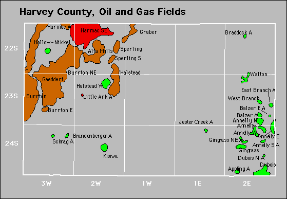
Appling
Brandenberger
Jester Creek
West Branch