Play:
Lower Mississippian
Basin:
Anadarko
County:
Ness County
Schaben Field
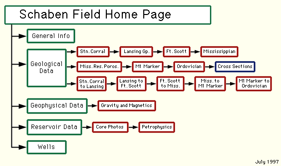
--Site Map
You can explore the Schaben Field by clicking on the blue topic buttons to the left or by clicking on this site map.
Kansas Geological Survey
, Digital Petroleum Atlas
Comments to
webadmin@kgs.ku.edu
Updated April 11, 1996
URL = http://www.kgs.ku.edu/DPA/Schaben/schabenMain.html