Kansas Geological Survey, Open-file Report 2010-5
by
Robert S. Sawin and Ronald R. West
KGS Open File Report 2010-5
May 2010
PR = Photorevised
Copies of the field maps are open-filed at the Kansas Geological Survey, Lawrence, Kansas.
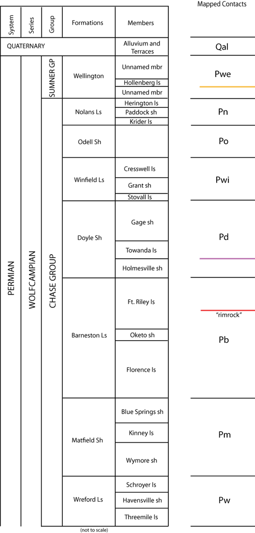
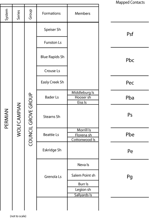
These maps indicate lithostratigraphic units only. No temporal, genetic, or related depositional aspects are meant or implied.
Stratigraphic nomenclature follows:
Zeller, D. E., ed., [1968] 2008, Classification of rocks in Kansas, revised by Kansas Geological Survey Stratigraphic Nomenclature Committee; in, The Stratigraphic Succession in Kansas: Kansas Geological Survey, Bulletin 189, 81 p., chart.
The stratigraphic sequence in this report is restricted to the interval from the Blue Rapids Shale at the base to the Wellington Formation at the top. Overlying these Permian rocks are Quaternary alluvium and terrace deposits. The following lithostratigraphic contacts were mapped in the Morris County quadrangles of this report:
Solid Line = Observed Contact
Dashed Line = Concealed Contact
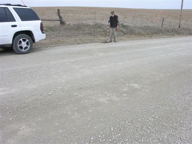
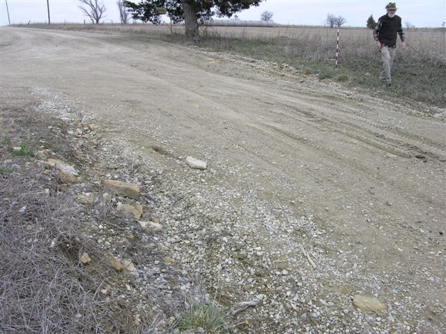
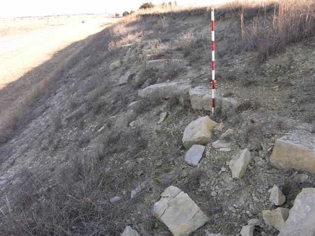
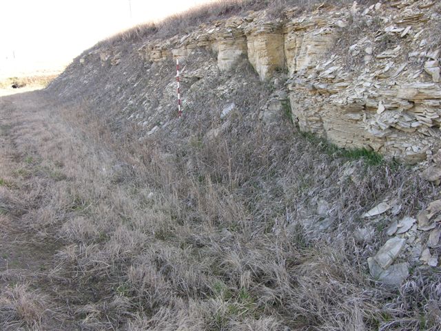
Explanation--data control points for the Morris County map are identified by the following letter prefixes:
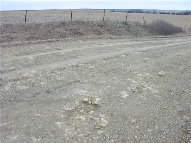
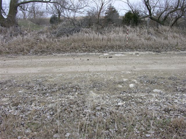
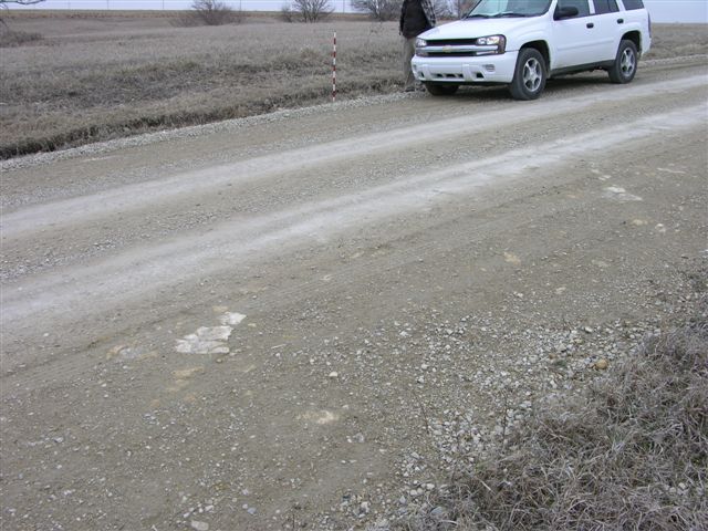
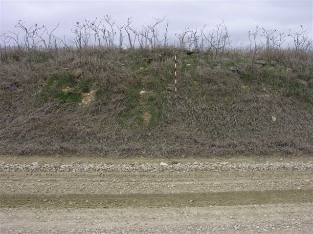
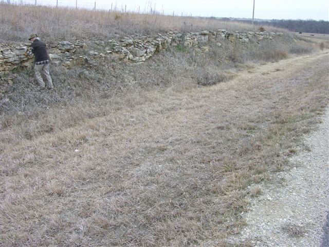
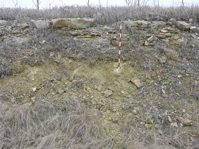
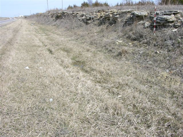
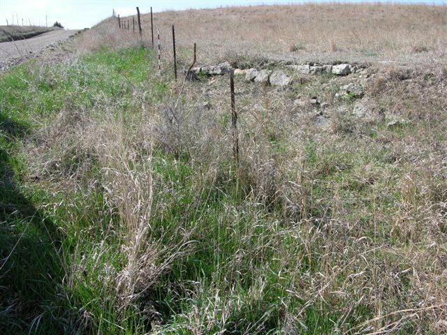
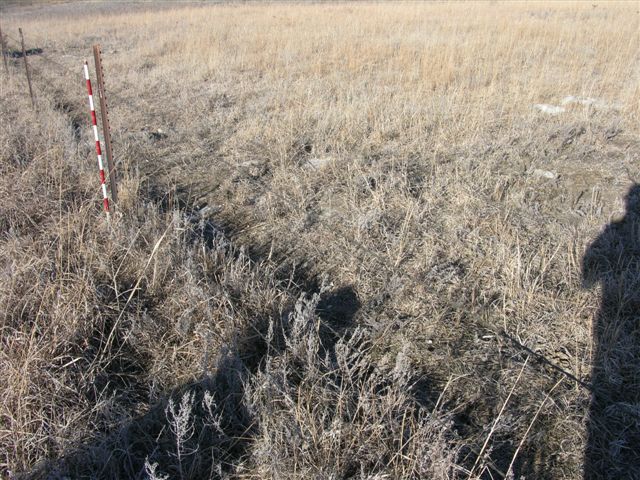
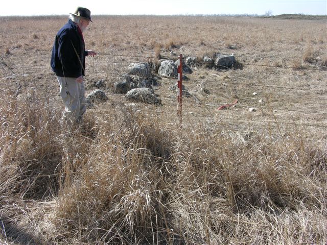
MR-236 = Winfield Limestone (base of Cresswell) at 1489 ft exposed in road ditches on both sides of road, hand leveled 4.5 ft of limestone with 9.0 ft of Grant shale below; 1 digital photo; approximately 200 ft east of center f south line SW SW, sec. 22, T.16S., R.6E., Morris Co., Kansas.
MR-237 = Winfield Limestone (Stovall) at 1480 ft exposed in road ditch on north side of road; 1 digital photo; near center of south line SW, sec. 22, T.16S., R.6E., Morris Co., Kansas.
MR-238 = Winfield Limestone (base of Cresswell) at 1475 ft exposed in road ditches on both sides of road; 1 digital photo; near center of south line, SE SW SE, sec. 21, T.16S., R.6E., Morris Co., Kansas.
MR-239 = Winfield Limestone (Stovall) at 1457 ft exposed in road ditch on south side of road; 1 digital photo; near center of north line, NE NW, sec. 28, T.16S., R.6E., Morris Co., Kansas.
MR-240 = Winfield Limestone (Stovall) at 1457 ft exposed in road ditch on north side of road; 1 digital photo; approximately 200 ft east of south line, SE SE, sec. 20, T.16S., R.6E., Morris Co., Kansas.
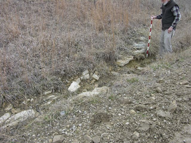
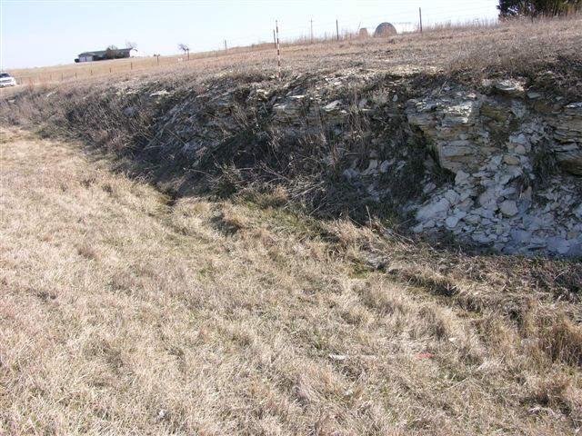
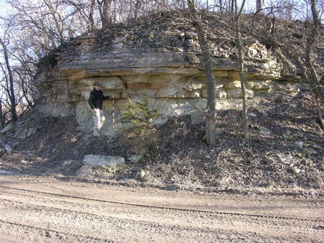
MR-243 = Exposure of Nolans (near base of Herington) Limestone at 1455 feet in trench silo on east side of road; 2 digital photos; approximately 200 feet south of NW corner, sec. 19,T.15S., R.6E., Morris Co., Kansas.
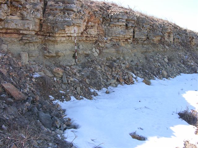
MR-244 = Exposure of Winfield (near top of Cresswell) Limestone at 1405 feet in road, road ditches, and old quarry north of road (see MMW, p. 24, Table 1, limestone 9); limestone echinoid skeletal debris obvious as well as bivalves (especially burrows) and what appear to be Thalassinoides; 3 digital photos; near center of south line SE SW, sec. 26, T.15S., R.5E., Morris Co., Kansas.
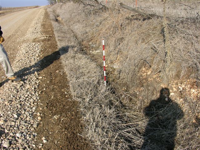
MR-245 = Exposure of Winfield (near top of Cresswell) Limestone at 1380 feet in roadcut on east side of road; well exposed; 1 digital photo; approximately 500 feet south on NW corner, sec. 22, T.15S., R.5E., Morris Co., Kansas.
MR-246 = Exposure of Winfield (near top of Cresswell) Limestone at 1395 feet in road ditch on west side of road; in situ Wilkingia sp. and small geodes; 2 digital photos; approximately 200 feet north of west line NW SW, sec. 35, T.15S., R.5E., Morris Co., Kansas.
MR-247 = Exposure of Nolans (near base of Herington) Limestone at 1435 feet in roadcut on east side of road; center west lines NW SW, sec. 35, T.15S., R.5E., Morris Co., Kansas.
MR-248 = Exposure of Nolans (near base of Herington) Limestone at 1447 feet in road and road ditches on both sides of road; 1 digital photo of exposure on east side of road; near center west line NW SW NW, sec. 2, T.16S., R.5E., Morris Co., Kansas.
MR-249 = Exposure of Winfield (Stovall) Limestone at 1481 feet in road and road ditch on south side of road; 1 digital photo near center of south line SE SE SW, sec. 3, T.16S., R.6E., Morris C., Kansas.
MR-250 = Exposure of Nolans (Herington) Limestone at 1498 feet in road and road ditch on west side of road; 1 digital photo; approximately 300 feet east of center of south line SE, sec. 18, T.16S., R.6E., Morris Co., Kansas.
MR-251 = Exposure of Winfield (Cresswell, near top) Limestone at 1434 feet in road, near MMW-7; 1 digital photo of south side of road and abandoned quarry (MMW-7); near center of north line NE NE, sec. 12, T.16S., R.5E., Morris Co., Kansas.
MR-252 = Exposure of Nolans (Herington) Limestone at 1470 feet in road ditch on west side of road; 1 digital photo; near center of east line SE NE NE, sec. 1, T.16S., R.5E., Morris Co., Kansas.

MR-253 = Exposure of Nolans (base of Herington) Limestone at 1480 feet in road ditch on east side of road; 2 digital photos (geodes in limestone and base of limestone); near center of west line, sec. 6, T.16S., R.6E., Morris Co., Kansas.
MR-254 = Exposure of base of Nolans (Herington) Limestone at 1476 feet in road and road ditch on west side of road; 1 digital photo; near center of east line SE NE NE, sec. 36, T.15S., R.5E., Morris Co., Kansas.
MR-255 = Exposure of base of Nolans (Herington) Limestone at 1470 feet in road and field on west side of road; 1 digital photo; near center of east line SE SE, sec. 25, T.15S., R.5E., Morris Co., Kansas.
MR-256 = Exposure of base of Nolans (Herington) Limestone with Odell Shale below at 1467 feet in road ditch on both sides of road; 3 digital photos (1 on each side of road and 1 of limestone slab with geodes); near center of east line SE NE NE, sec. 25, T.15S., R.5E., Morris Co., Kansas.
MR-257 = Exposure of Nolans (Herington) Limestone at 1453 feet in road; 1 digital photo; near center of east line SE SE, sec. 24, T.15S., R.5E., Morris Co., Kansas.
MR-258 = Exposure of Winfield (Cresswell, near top) Limestone at 1418 feet in road; 1 digital photo; approximately 200 feet north of center of east line SE NE, sec. 13, T.15S., R.5E., Morris Co., Kansas.
MR-259 = Exposure of Nolans (Herington) Limestone at 1449 feet in road; 1 digital photo; near center of east line, sec. 26, T.15S., R.5E., Morris Co., Kansas.
MR-260 = Exposure of Nolans (Herington) Limestone at 1443 feet in road; 1 digital photo; near center of east line SE NE SE, sec. 23, T.15S., R.5E., Morris Co., Kansas.
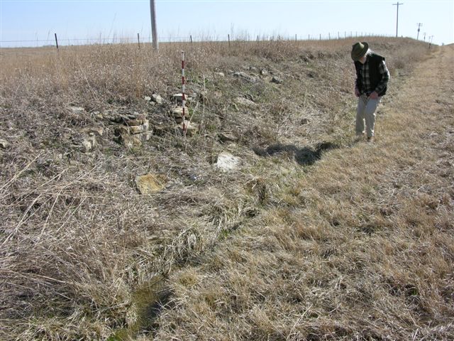
MR-261 = Exposure of base of Nolans (Herington) Limestone at 1448 feet in old trench silo on north side of road; 1 digital photo; approximately 400 feet east and 100 feet north of SW corner, sec. 36, T.15S., R.5E., Morris Co., Kansas. Sequence sketched.
MR-262 = Exposure of base of Nolans (Herington) Limestone at 1493 feet in road and in road ditch on south side of road; 1 digital photo; approximately 200 feet east of center of south line SE, sec. 18, T.16S., R.6E., Morris Co., Kansas.
MR-263 = Exposure of base of Nolans (Krider) Limestone at 1469 feet in road ditch on west side of road; 1 digital photo; approximately 200 feet south of center SE, sec. 27, T.16S., R.5E., Morris Co., Kansas.
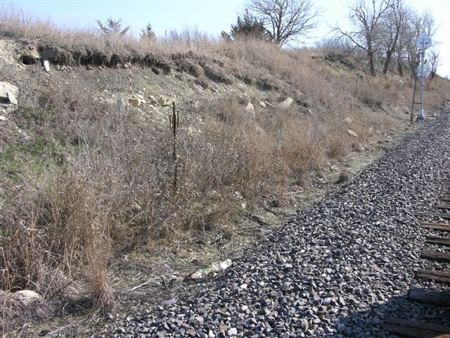
MR-267 = Exposure of Nolans (Herington, base estimated at 1435 feet) Limestone at 1440 feet on north side of an old railroad cut; 1 digital photo; near center of NW, sec. 15, T.16S.,R.5E., Morris Co., Kansas.
MR-268 = Exposure of base of Nolans (Herington) Limestone at 1441 feet in roadcut on north side of road; 1 digital photo; near center of south line SE SW, sec. 10, T.16S., R.5E., Morris Co., Kansas.
MR-282 = Exposure of Nolans (Herington) Limestone in road at 1433 feet; 1 digital photo; near center of west line NW, sec. 10, T.16S., R.5E., Morris Co., Kansas.
MR-292 = Exposure of Nolans (Herington) Limestone in road and road ditch on south side of road at 1472 feet; 2 digital photos, one on each side of road; approximately 200 feet west of center of north line, sec. 23, T.16S., R.5E., Morris Co., Kansas.
MR-293 = Exposure of Nolans (base of Herington limestone) Limestone in road and road itch on south side of road at 1465 feet; 1 digital photo; near center of north line NW NE NE, sec. 26, T.16S., R.5E., Morris Co., Kansas.
MR-294 = Exposure of Wellington (Hollenberg limestone) Formation in the road at 1490 feet; 1 digital photo; center of south line SW, sec. 22, T.16S., R.5E., Morris Co., Kansas.
MR-297 = Exposure of Nolans (from the base of the Krider limestone through 5 feet of Paddock shale to the lower beds of the Herington limestone) Limestone, base of the Nolans (Krider) Limestone at 1433 feet; Krider is two thin, platy, barely recognizable limestone beds like at MR-270; 1 digital photo; approximately 400 feet west of SE corner, sec. 22, T.15S., R.5E., Morris Co., Kansas.
MR-298 = Exposure (very poor) of Nolans (Herington) Limestone in road at 1477 feet; 1 digital photo; near center of west line SW NW NW, sec. 20, T.15S., R.6E., Morris Co., Kansas.
MR-299 = Exposure of Winfield (Cresswell) Limestone in road at 1389 feet, good exposure of lower beds of Cresswell limestone; 1 digital photo; near center of south line SW, sec. 34, T.15S., R.5E., Morris Co., Kansas.
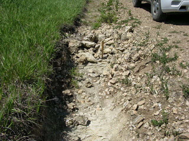
MR-300 = Exposure of base of Nolans (Krider) Limestone in road at 1330 feet with 12 feet of Paddock shale above to the base of the Herington limestone; 1 digital photo; near center of south line SW SE SW, sec. 3, T.16S., R.5E., Morris Co., Kansas.
MR-301 = Exposure of Nolans (Herington) Limestone in road at 1458 feet; 1 digital photo; near center of south line SE SE, sec. 2, T.16S., R.5E., Morris Co., Kansas.
MR-302 = Exposure of Nolans (Herington) Limestone in road at 1460 feet; 1 digital photo; near center of south line SW, sec. 1, T.16S., R.5E., Morris Co., Kansas.
MR-303 = Exposure of Nolans (base of Herington) Limestone in road ditch on south side of road at 1466 feet; 1 digital photo; near center of south line SW SE SE, sec. 11, T.16S., R.5E., Morris Co., Kansas.
MR-304 = Exposure of Nolans (Herington) Limestone in road ditch on south side of road at 1470 feet; 1 digital photo; near center of south line SW SW SE, sec. 12, T.16S., R.5E., Morris Co., Kansas.
MR-310 = Winfield Limestone (Stovall limestone) at 1450 ft exposed in road and road ditch on south side of road; 1 digital photo; near center of the north line of NE NE, sec. 28, T.15S., R.6E., Morris Co., Kansas.
Explanation--data control points for the Morris County map are identified by the following letter prefixes:
M-6 = Exposure of Nolans (Herington) Limestone; NW corner sec. 20, T.16S., R.5E., Morris Co., Kansas; measured and described by M. K. and M. M. Elias in 1935; see MR-286.
M-7 = Exposure of Nolans (Herington) Limestone; just NW of center NW NW corner sec. 20, T.16S., R.5E., Morris Co., Kansas; measured and described by M. K. and M. M. Elias in 1935; possibly the same as M-6; see MR-286.
M-8 = Exposure of Nolans Limestone; near center of east line NE sec. 30, T.16S. R.5E., Morris Co., Kansas; measured and described by M. K. and M. M. Elias in 1935.
MMW-5 = Exposure of Nolans Limestone in railway cut; NW NW, sec. 31, T.15S., R.5E., Morris Co., Kansas; see MR-275.
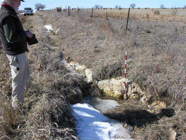
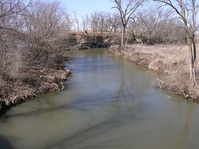
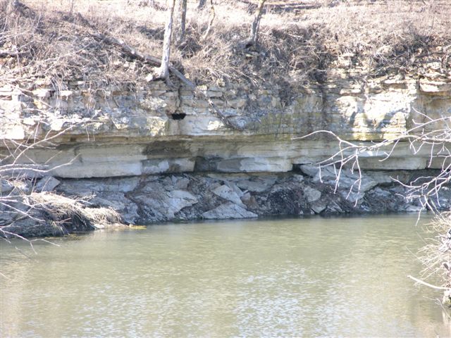
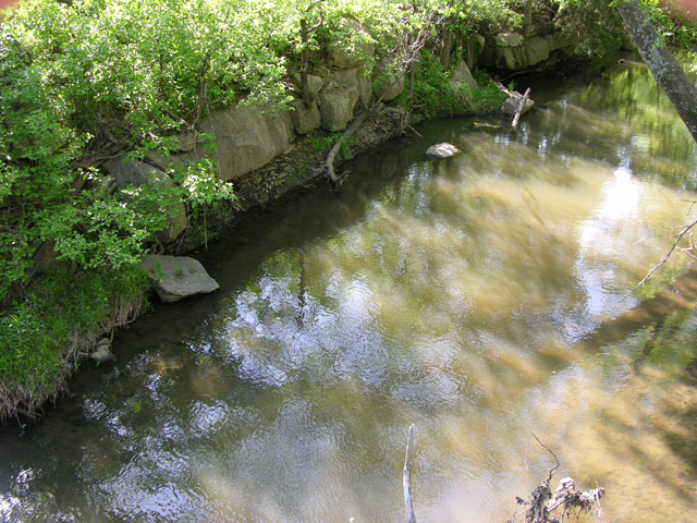
MMW-6 = Exposure of Nolans (Krider) Limestone and Odell Shale in stream bank; NW NW, sec. 29, T.16S., .5E., Morris Co., Kansas.
MR-266 = Exposure of Nolans (base of Herington) Limestone at 1437 feet in field north of road; 1 digital photo; near center of south line SW SE SE, sec. 16, T.16S., R.5E., Morris Co., Kansas.
MR-269 = Exposure of Nolans (base of Herington with Paddock shale below) Limestone at 1420 feet in roadcut on north side of Kansas Highway 4; 3 digital photos (third one is approximately 750 feet west of MR-269); near center of south line SE, sec. 28, T.15S., R.5E., Morris Co., Kansas. Sketched exposure.
MR-270 = Exposure of Nolans (base of Krider limestone to lower beds of Herington limestone with approximately 5 feet of Paddock shale between) Limestone, base of Nolans (Krider) Limestone in road at 1395 feet; 2 digital photos, one of Nolans Limestone and one of base of Krider limestone; near center of south line SE SE SE, sec. 20, T.15S., R.5E., Morris Co., Kansas.
MR-271 = Exposure of base of Nolans (Herington) Limestone at 1398 feet in road; 1 digital photo; near center of north line, sec. 19, T.15S., R.5E., Morris Co., Kansas.
MR-272 = Exposure of base of Nolans (Krider) Limestone at 1385 feet in road; 1 digital photo; near center of east line NE NE SE, sec. 19, T.15S. R.5E., Morris Co., Kansas.
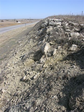
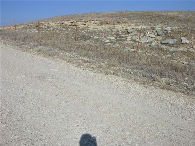
MR-273 = Exposure of the base of the Nolans (Krider) Limestone in a roadcut on the east side of U. S. Highway 77 at 1375 feet; 1 digital photo; near center of west line NW NW, sec. 19, T.15S., R.5E., Morris Co., Kansas. Sketched exposure.
MR-274 = Exposure of top of Winfield (Cresswell, finely laminated, non-fossiliferous) Limestone in roadcuts on both sides of U. S. Highway 77 at 1340 feet; 1 digital photo of exposure on east side of highway; NW corner, sec. 30, T.15S., R.5E., Morris Co., Kansas.
MR-275 = Exposure of the base of the Nolans (Krider) Limestone on the north side of a Chicago, Rock Island and Pacific railroad cut at 1370 feet; 1 digital photo; approximately 300 feet west of center NW NW, sec. 31, T.15S., R.5E., Morris Co., Kansas ; see MMW-5.
MR-276 = Exposure near top of Winfield (Cresswell) Limestone in roadcut on east side of U. S. Highway 77 at 1344 feet; 1 digital photo; approximately 300 feet south and 100 feet east of NW corner, sec. 6, T.16S., R.5E., Morris Co., Kansas.
MR-277 = Exposure of the base of the Nolans (Herington) Limestone in a roadcut on north side of Kansas Highway 4 at 1380 feet; 1 digital photo; approximately 350 feet west of center of south line, sec 31, T.15S., R.5E., Morris Co., Kansas.
MR-278 = Exposure of the base of the Nolans (Herington) Limestone in roadcuts on both sides of U. S. Highway 77 at 1383 feet; 1 digital photo of exposure on east side of highway; near center of west line NW SW, sec. 6, T.16S. R.5E., Morris Co., Kansas.
MR-279 = Exposure of Nolans (base of Herington) Limestone in roadcuts on both sides of U. S. Highway 77 at 1380 feet; elevation from, and 1 digital photo of, exposure on east side of highway; near center west line SW NW, sec 7, T.16S.,R.5E., Morris Co., Kansas.
MR-280 = Exposure of Nolans (near base of Herington) Limestone in road and field south of road at 1390 fee; 1 digital photo of exposure n south side of road; near center of north line NW NE, sec. 7 T.16S., R.5E., Morris Co., Kansas.
MR-281 = Exposure of the base of the Nolans (Herington) Limestone in a roadcut on east side of road at 1406 feet; 1 digital photo; near center of west line NW, sec. 4, T.16S., R.5E., Morris Co., Kansas.
MR-283 = Exposure of Wellington (Hollenberg limestone) in road and field west of road at 1465 feet; 1 digital photo; approximately 200 feet north of center of east line, sec. 20, T.16S., R.5E., Morris Co., Kansas.
MR-285 = Exposure of Wellington (Hollenberg limestone) in road at 1468 feet; 1 digital photo; near center of north line NE NW NW, sec. 20, T.16S., R.5E., Morris Co., Kansas.
MR-286 = Exposure of Nolans (base of Herington) Limestone in road and roadcut on east side of road at 1430 feet; 1 digital photo; approximately 300 feet south of center of west line W, sec. 20, T.16S., R.5E., Morris Co., Kansas; area of M-6 and M-7.
MR-287 = Exposure of Nolans (base of Herington) Limestone in road and field east of road at 1417 feet with a thin Paddock shale and the Krider limestone mostly covered with one or two thin to platy beds of earthy limestone in the upper Odell Shale above maroon mudrocks of Odell Shale exposed in the road; 1 digital photo; approximately 300 feet south of center of west line SW, sec. 20, T.16S., R.5E., Morris Co., Kansas.
MR-288 = Exposure of Wellington (base of Hollenberg limestone) in road at 1460 feet; 1 digital photo; approximately 200 feet south of west line NW SW, sec. 29, T.16S., R.5E., Morris Co., Kansas.
MR-289 = Exposure of base of Nolans (Krider) Limestone on both sides of road at 1410 feet with maroon mudrock of Odell Shale below in road; approximately 7.5 feet of Paddock shale (covered) above approximately 3.7 feet of Krider limestone (two thin dolomitic limestones with a thin mudrock between); 4 digital photos: 1--base of Krider limestone with Odell Shale below, 2--top of the thin lower limestone in the Krider limestone, 3--interval from the top of the thin lower limestone in the Krider limestone to the top of the thin upper limestone in the Krider limestone, and 4--thin upper limestone in the Krider limestone; near center of west line SW SW, sec. 20, T.16S., R.5E., Morris Co., Kansas.
MR-290 = Exposure of base of Nolans (Krider) Limestone in field on west side of road at 1395 feet (hand leveled to the base of the lower beds in the Herrington limestone); 1 digital photo; approximately 300 feet south of center of east line NE NE, sec. 30, T.16S., R.5E., Morris Co., Kansas.
MR-295 = Exposure of Nolans (base of Herington limestone) Limestone on the north side of a Chicago, Rock Island and Pacific railroad cut at 1390 feet; 1 digital photo; approximately 200 feet north of SE corner, sec. 30, T.15S., R.5E., Morris Co., Kansas.
Explanation--data control points for the Morris County map are identified by the following letter prefixes:
M-9 = Barneston Limestone (Fort Riley) exposed in a recently open quarry (now abandoned); SE cor., sec 29, T.16S., R.7E., Morris Co., Kansas; measured and described by W. Ives, 12 August 1953.
MMW-18 = Wreford Limestone (Threemile) into the Matfield Shale (Wymore) in roadcut exposure of the east side of road in the SW SW, sec.15, T.15S., R. 7E., Morris Co., Kansas.
MMW-22 = Wreford Limestone (Threemile) exposure in road ditch and south bank of Neosho River on east side of road (at 1340 ft); SW NW, sec. 15, T.15S., R.7E., Morris Co., Kansas.
MTB-99A = Exposure of Barneston (Florence) Limestone in roadcuts on U. S. Highway56 west of Council Grove, in SW sec. 15 and NW sec. 22, T.16S., R.7E., Morris Co., Kansas.
MR-177 = Exposure of Matfield Shale (Kinney Limestone Member )at 1450 ft in road and road ditches on both sides of road; 1 digital photo; approximately 350 ft west of center of north line, sec. 11, T.16S., R.7E., Morris Co., Kansas.
MR-186 = Base of Barneston Limestone (Florence) at 1500 ft in road and roadcut exposure on east side of road; 1 digital photo; near center of west line NW SW, sec. 11, T.16S., R.7E., Morris Co., Kansas.
MR-211 = Base of Barneston Limestone (Florence) at 1410 ft in road ditch and exposure on east side of road; 1 digital photo; near center of west line SW NW NW, sec. 22, T.15S., R.7E., Morris Co., Kansas.
MR-212 = Top of Wreford Limestone (Schroyer) at 1360 ft in exposure on west side of road across from MMW-18; 1 digital photo; near center of east line SE SE SE, sec. 16, T.15S., R.7E., Morris Co., Kansas.
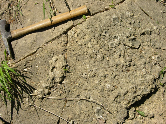
MR-213 = Exposure of atypical Wreford Limestone (Threemile) at 1340 ft on east side of road south of Crooked Creek; 2 digital photos; near center of west line NW SW SW, sec. 15, T.15S., R.7E., Morris Co., Kansas; limestone is a very light gray to white sub-lithographic carbonate that appears to have been burrowed and contains very little chert.
MR-214 = Base of Barneston Limestone (Florence) at 1500 ft in roadcut exposure on south side of U. S. Highway 56; 1 digital photo; near center of north line NW NW NE, sec. 22, T.16S., R.7E., Morris Co., Kansas.
MR-215 = Barneston Limestone (Fort Riley?) at 1480 ft in road, road ditches, and pond bank exposures on north side of road; 1 digital photo; just east of center of south line, SE SE, sec. 4, T.16S., R.7E., Morris Co., Kansas.
MR-217 = Base of Barneston Limestone (Florence) at 1465 ft in road ditch exposure on west side of road; 1 digital photo; near center of east line SE NE, sec. 21, T.16S., R.7E., Morris Co., Kansas.
MR-218 = Base of Barneston Limestone (Florence) at 1485 ft in road ditch exposure on west side of road; 1 digital photo; near center of east line NE SE SE, sec. 22, T.16S., R.7E., Morris Co., Kansas.
MR-220 = Barneston Limestone (Fort Riley rim rock) at 1470 ft exposed in road and fields on both sides of road; 1 digital photo of exposure on east side of road; near center of west line, SW NW NW, sec. 5, T.16S., R.7E., Morris Co., Kansas.
MR-221 = Base of Barneston Limestone (Florence) at 1430 ft in EXCELLENT roadcut exposure on west side of road; 1 digital photo; near center of south line SW SE SW, sec. 28, T.15S., R.7E., Morris Co., Kansas.
MR-222 = Base of Barneston Limestone (Florence) at 1450 ft in road ditch on north side of road; 1 digital photo; center of south line SW SE SW, sec. 23,T.16S.,R.7E., Morris Co., Kansas.
MR-223 = Barneston Limestone (Florence) at 1435 ft in place in gully on west side of road; 2 digital photos; approximately 150 ft west of center of east line, NE NE SE, sec. 27, T.16S., R.7E., Morris Co., Kansas.
MR-224 = Barneston Limestone (Fort Riley rim rock) at 1432 ft exposed in pasture/feed lot on east side of road; 2 digital photos; center of west line SW NW SW, sec. 26, T.16S., R.7E., Morris Co., Kansas.
MR-225 = Base of Barneston Limestone (Florence) estimated at 1425 ft (covered); in bluff on south side of Elm Creek 1 digital photo; near center NW SE SE, sec. 27, T.16S., R.7E., Morris Co., Kansas.
MR-226 = Barneston Limestone (Florence) at 1409 ft exposed in bank on north side of Elm Creek on west side of road; 2 digital photos; just west of center of east line SE SE, sec. 27, T.16S., R.7E., Morris Co., Kansas.
MR-227 = Barneston Limestone (Fort Riley rim rock) at 1448 ft exposed on both sides of road; 1 digital photo of exposure on south side of road; near center of south line SW SE SW, sec. 31, T.15S., R.7E., Morris Co., Kansas.
MR-228 = Barneston Limestone (Fort Riley rim rock) at 1420 ft exposed on in field west of road; 1 digital photo; approximately 150 ft south of center of east line SE NE, sec. 36, T.15S., R.6E., Morris Co., Kansas.
MR-229 = Barneston Limestone (Fort Riley rim rock) at 1425 ft exposed on both sides of road; 1 digital photo of exposure on west side of road; near center of east line SE NE NE, sec.36, T. 15S., R.6E., Morris Co., Kansas.
MR-230 = Base of Barneston Limestone (Florence) at 1390 ft exposed in west bank of Haun Creek on north side; 2 digital photos; near center SW SE SW, sec. 30, T.15S., R.7E., Morris Co., Kansas.
MR-231 = Barneston Limestone (Fort Riley) at 1450 ft exposed in field north of road; 1 digital photo; center south line SW SE, sec. 30, T.15S., R.7E., Morris Co., Kansas.
MR-232 = Barneston Limestone (Fort Riley rim rock) at 1415 ft exposed in road and in fields on both sides of road with Oketo shale below along stream bank north of road; 1 digital photo; center of south line SW, sec. 19, T.15S., R.7E., Morris Co., Kansas.
MR-233 = Barneston Limestone (Fort Riley rim rock) at 1420 ft exposed in fields on both sides of road; 1 digital photo of exposure on west side of road; near center of sec. 19, T.15S., R.7E., Morris Co., Kansas.
MR-234 = Doyle (Towanda limestone) Shale at 1459 ft exposed in road ditches on both sides of road; 1 digital photo of exposure on south side of road; near center SE SE SE, sec. 12, T.16S., R.6E., Morris Co., Kansas.
MR-235 = Winfield Limestone (Stovall) at 1501 ft exposed in road ditch on east side of road; 2 digital photos; approximately 200 ft north of center of west line SW NW, sec. 24, T.15S., R.6E., Morris Co., Kansas.
MR-241 = Exposure of Doyle (Towanda limestone) Shale at 1422 feet in road; 1 digital photo; near center south line, sec. 14, T.15S., R.6E., Morris Co., Kansas.
MR-242 = Exposure of Doyle (near base of Towanda limestone) Shale at 1434 feet in road ditch on north side of road; 1 digital photo; near center south line SW SW, sec. 24, T.15S., R.6E., Morris Co., Kansas.
MR-305 = Barneston Limestone (Fort Riley rim rock) at 1490 ft exposed in pasture on south side of road; 1 digital photo; near northeast corner of NE NE, sec. 16, T.16S., R.7E., Morris Co., Kansas.
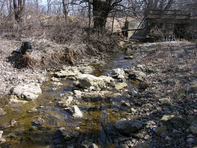
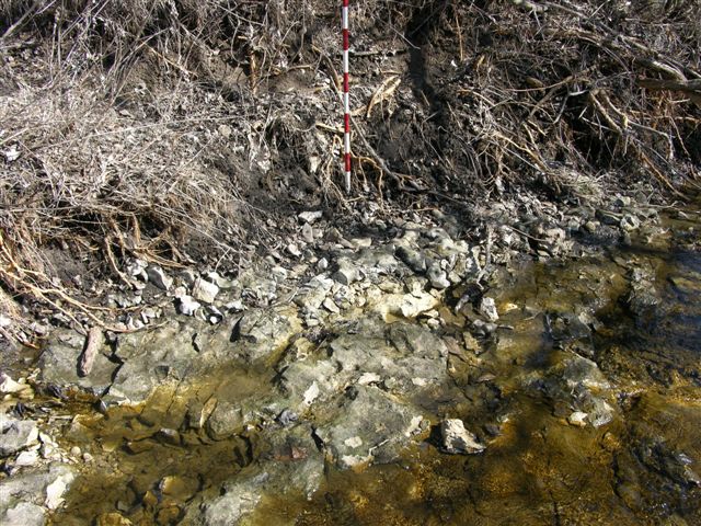
MR-306 = Barneston Limestone (Fort Riley rim rock) at 1430 ft exposed in stream bank on both sides of bridge; base about 2 ft above water level; upper Fort Riley partially exposed in road and road ditches to east (platy limestone above rim rock with mudrock and massive layers evident within mostly covered interval); 1 digital photo; near northeast corner of NE NW, sec. 7, T.16S., R.7E., Morris Co., Kansas.
MR-307 = Barneston Limestone ( upper part of Fort Riley limestone) at 1458 ft exposed in road ditch and pond spillway on south side of road; massive, blocky layer approximately 0.8 ft thick with vugs and high skeletal content and crystalline calcite, platy limestone above in spillway and silty limestone below massive limestone; 2 digital photos; near northeast corner of NE NE, sec. 7, T.16S., R.7E., Morris Co., Kansas.


MR-308 = Winfield Limestone (Cresswell limestone) at 1482 ft exposed in road ditch on west side of road; abundant large calcite geodes; 2 digital photo; near center of east line, sec. 17, T.16S., R.7E., Morris Co., Kansas.
MR-309 = Winfield Limestone (Stovall limestone) at 1535 ft exposed in road ditch in southwest corner of intersection; 1 digital photo; northeast corner of sec. 26, T.16S., R.6E., Morris Co., Kansas.
Kansas Geological Survey, Geology
Updated Sept. 27, 2010
Comments to webadmin@kgs.ku.edu
The URL for this page is http://www.kgs.ku.edu/Publications/OFR/2010/OFR10_5/index.html