KGS Home || Annual Report 2005 Home || Director's Report || Introduction || Energy || Subsurface Imaging Techniques
Water || Geology and Stratigraphy || Mapping || Information Dissemination || New Grants || Financial Statement
Kansas Geological Survey--Annual Report 2005
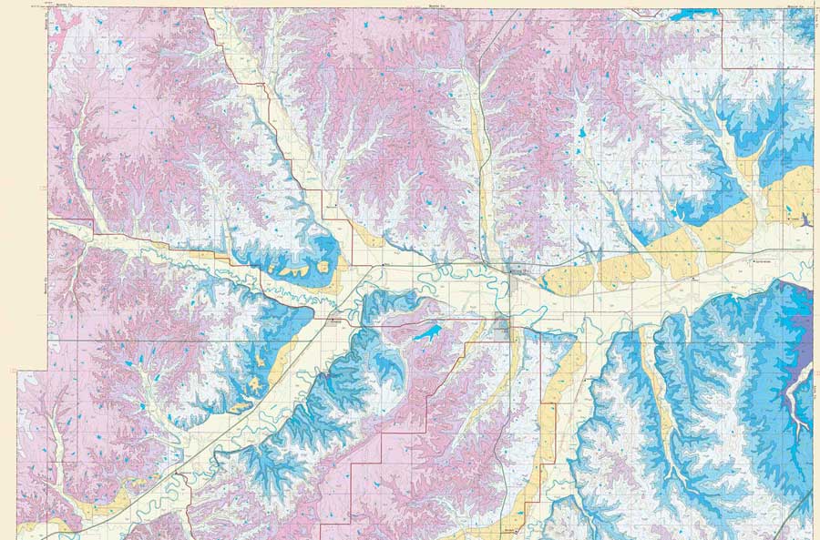
Kansas geologic maps. Geologic maps depict the bedrock exposed at the earth's surface or, more commonly, located directly beneath overlying soil and vegetation. These maps are the principal source of information on near-surface geology and are essential for guiding public policy, evaluating earth resources, and making economic decisions. The KGS's objective is to create geologic maps and digitized county databases for unmapped counties and those with older maps. The digital format system makes possible accurate, up-to-date maps at several different scales and provides the latest stratigraphic and geologic interpretations without requiring extensive remapping or reprinting. The KGS has in-house facilities for processing, plotter printing, and distribution of geologic data. In 2005, the Survey published a new geologic map for Chase County. Geologic mapping is currently underway for Saline, Geary, Washington, Pawnee, and Edwards counties.
Other maps. In 2005, the KGS produced two maps showing past and potential future locations of landslides near Easton in Leavenworth and Jefferson counties as part of a project in the Kansas City area. Other ongoing mapping projects focus on karst topography characterized by sinkholes, depressions, and caves; the movement and containment of carbon dioxide (CO2) injected into a carbonate reservoir in a Russell County oil field; structural geologic features that could affect tectonics and earthquakes; and the bedrock-surface elevation around the Bear Creek and Crooked Creek faults in the Ogallala bedrock of western Kansas. An online interactive database (WIMAS) is also being developed to retrieve, analyze, and map Kansas water-right data.
KGS Home || Annual Report 2005 Home || Director's Report || Introduction || Energy || Subsurface Imaging Techniques
Water || Geology and Stratigraphy || Mapping || Information Dissemination || New Grants || Financial Statement
Online Sept. 1, 2006
Comments to: webadmin@kgs.ku.edu
URL:"http://www.kgs.ku.edu/Publications/AnnRep05/05mapping.html"