| Year | Oil | Gas | ||||
|---|---|---|---|---|---|---|
| Production (bbls) |
Wells | Cumulative (bbls) |
Production (mcf) |
Wells | Cumulative (mcf) |
|
| 1995 | 585,871 | 625 | 86,810,496 | 2,297,397 | 155 | 135,473,912 |
| 1996 | 532,002 | 569 | 87,342,498 | 1,964,613 | 199 | 137,438,525 |
| 1997 | 478,920 | 561 | 87,821,418 | 1,896,895 | 225 | 139,335,420 |
| 1998 | 389,922 | 539 | 88,211,340 | 1,784,379 | 240 | 141,119,799 |
| 1999 | 385,015 | 514 | 88,596,355 | 1,857,264 | 233 | 142,977,063 |
| 2000 | 397,346 | 519 | 88,993,701 | 1,620,755 | 231 | 144,597,818 |
| 2001 | 353,059 | 501 | 89,346,760 | 1,560,497 | 233 | 146,158,315 |
| 2002 | 327,843 | 496 | 89,674,603 | 1,428,120 | 236 | 147,586,435 |
| 2003 | 354,632 | 494 | 90,029,235 | 1,502,693 | 239 | 149,089,128 |
| 2004 | 359,446 | 483 | 90,388,681 | 1,640,736 | 241 | 150,729,864 |
| 2005 | 310,994 | 489 | 90,699,675 | 1,801,057 | 246 | 152,530,921 |
| 2006 | 397,659 | 500 | 91,097,334 | 2,237,275 | 254 | 154,768,196 |
| 2007 | 384,804 | 492 | 91,482,138 | 2,457,470 | 260 | 157,225,666 |
| 2008 | 377,784 | 532 | 91,859,922 | 2,864,455 | 284 | 160,090,121 |
| 2009 | 403,448 | 541 | 92,263,370 | 3,674,311 | 280 | 163,764,432 |
| 2010 | 331,182 | 533 | 92,594,552 | 2,889,343 | 271 | 166,653,775 |
| 2011 | 310,057 | 535 | 92,904,609 | 1,071,546 | 256 | 167,725,321 |
| 2012 | 323,112 | 539 | 93,227,721 | 1,142,530 | 257 | 168,867,851 |
| 2013 | 381,936 | 545 | 93,609,657 | 1,078,423 | 227 | 169,946,274 |
| 2014 | 416,194 | 554 | 94,025,851 | 824,727 | 225 | 170,771,001 |
| 2015 | 358,508 | 496 | 94,384,359 | 705,123 | 222 | 171,476,124 |
| 2016 | 298,633 | 483 | 94,682,992 | 556,388 | 219 | 172,032,512 |
| 2017 | 290,413 | 472 | 94,973,405 | 534,344 | 212 | 172,566,856 |
| 2018 | 344,962 | 483 | 95,318,367 | 568,621 | 214 | 173,135,477 |
| 2019 | 422,476 | 469 | 95,740,843 | 479,178 | 190 | 173,614,655 |
| 2020 | 334,315 | 437 | 96,075,158 | 417,536 | 181 | 174,032,191 |
| 2021 | 446,165 | 441 | 96,521,323 | 624,185 | 166 | 174,656,376 |
| 2022 | 380,222 | 465 | 96,901,545 | 699,217 | 171 | 175,355,593 |
| 2023 | 372,430 | 440 | 97,273,975 | 644,775 | 169 | 176,000,368 |
| 2024 | 389,138 | 433 | 97,663,113 | 537,360 | 167 | 176,537,728 |
| 2025 | 317,886 | 429 | 97,980,999 | 468,644 | 145 | 177,006,372 |
| 2026 | 45,349 | 250 | 98,026,348 | 66,625 | 128 | 177,072,997 |
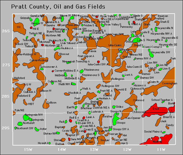

| Abandoned | ||
|---|---|---|
| Coats North Earl Gereke Hertlein |
Howell Lion Northeast Ludwick Ludwick Northeast |
School Teacher Social Plains Welli |
Gas Storage Fields