| Year | Oil | Gas | ||||
|---|---|---|---|---|---|---|
| Production (bbls) |
Wells | Cumulative (bbls) |
Production (mcf) |
Wells | Cumulative (mcf) |
|
| 1995 | 515 | 2 | 104,223 | - | - | 0 |
| 1996 | 660 | 2 | 104,883 | - | - | 0 |
| 1997 | 682 | 2 | 105,565 | - | - | 0 |
| 1998 | 728 | 2 | 106,293 | - | - | 0 |
| 1999 | 178 | 2 | 106,471 | - | - | 0 |
| 2000 | 642 | 2 | 107,113 | - | - | 0 |
| 2001 | 735 | 2 | 107,848 | - | - | 0 |
| 2002 | 1,652 | 4 | 109,500 | - | - | 0 |
| 2003 | 1,811 | 4 | 111,311 | - | - | 0 |
| 2004 | 1,616 | 4 | 112,927 | - | - | 0 |
| 2005 | 2,013 | 4 | 114,940 | - | - | 0 |
| 2006 | 2,073 | 4 | 117,013 | - | - | 0 |
| 2007 | 1,842 | 4 | 118,855 | - | - | 0 |
| 2008 | 1,868 | 4 | 120,723 | - | - | 0 |
| 2009 | 1,861 | 4 | 122,584 | - | - | 0 |
| 2010 | 1,911 | 5 | 124,495 | - | - | 0 |
| 2011 | 1,991 | 4 | 126,486 | - | - | 0 |
| 2012 | 2,357 | 4 | 128,843 | - | - | 0 |
| 2013 | 2,289 | 4 | 131,132 | - | - | 0 |
| 2014 | 1,801 | 4 | 132,933 | - | - | 0 |
| 2015 | 1,674 | 4 | 134,607 | - | - | 0 |
| 2016 | 1,847 | 4 | 136,454 | - | - | 0 |
| 2017 | 1,541 | 4 | 137,995 | - | - | 0 |
| 2018 | 1,443 | 4 | 139,438 | - | - | 0 |
| 2019 | 1,544 | 4 | 140,982 | - | - | 0 |
| 2020 | 1,275 | 4 | 142,257 | - | - | 0 |
| 2021 | 1,324 | 4 | 143,581 | - | - | 0 |
| 2022 | 941 | 4 | 144,522 | - | - | 0 |
| 2023 | 918 | 3 | 145,440 | - | - | 0 |
| 2024 | 935 | 3 | 146,375 | - | - | 0 |
| 2025 | 922 | 3 | 147,297 | - | - | 0 |

| Active | |||
|---|---|---|---|
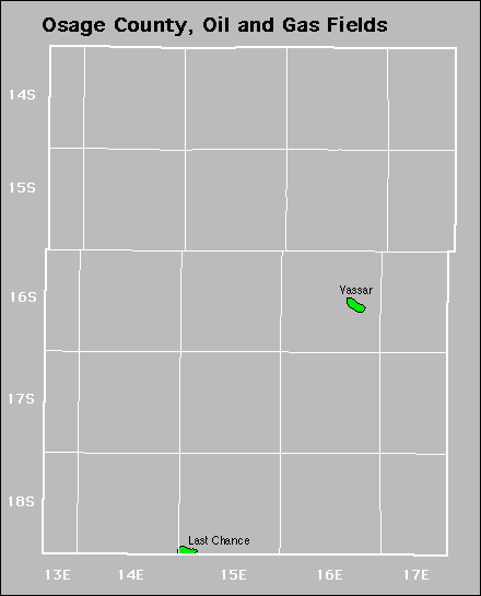
| Forest City Coal Gas Area Last Chance |
Rosemont Vassar |
||
Abandoned