| Year | Oil | Gas | ||||
|---|---|---|---|---|---|---|
| Production (bbls) |
Wells | Cumulative (bbls) |
Production (mcf) |
Wells | Cumulative (mcf) |
|
| 1995 | 144,213 | 169 | 19,220,279 | - | - | 0 |
| 1996 | 144,799 | 102 | 19,365,078 | - | - | 0 |
| 1997 | 123,408 | 92 | 19,488,486 | - | - | 0 |
| 1998 | 114,893 | 91 | 19,603,379 | - | - | 0 |
| 1999 | 104,908 | 90 | 19,708,287 | - | - | 0 |
| 2000 | 100,883 | 81 | 19,809,170 | - | - | 0 |
| 2001 | 98,291 | 83 | 19,907,461 | - | - | 0 |
| 2002 | 96,157 | 83 | 20,003,618 | - | - | 0 |
| 2003 | 89,922 | 83 | 20,093,540 | - | - | 0 |
| 2004 | 105,626 | 83 | 20,199,166 | - | - | 0 |
| 2005 | 112,302 | 93 | 20,311,468 | - | - | 0 |
| 2006 | 125,276 | 92 | 20,436,744 | - | - | 0 |
| 2007 | 142,427 | 97 | 20,579,171 | - | - | 0 |
| 2008 | 180,756 | 101 | 20,759,927 | - | - | 0 |
| 2009 | 198,458 | 103 | 20,958,385 | - | - | 0 |
| 2010 | 202,837 | 111 | 21,161,222 | - | - | 0 |
| 2011 | 330,359 | 127 | 21,491,581 | - | - | 0 |
| 2012 | 287,939 | 131 | 21,779,520 | - | - | 0 |
| 2013 | 287,629 | 147 | 22,067,149 | - | - | 0 |
| 2014 | 344,863 | 172 | 22,412,012 | - | - | 0 |
| 2015 | 293,971 | 179 | 22,705,983 | - | - | 0 |
| 2016 | 232,038 | 168 | 22,938,021 | - | - | 0 |
| 2017 | 203,170 | 177 | 23,141,191 | - | - | 0 |
| 2018 | 181,390 | 167 | 23,322,581 | - | - | 0 |
| 2019 | 164,944 | 168 | 23,487,525 | - | - | 0 |
| 2020 | 148,266 | 154 | 23,635,791 | - | - | 0 |
| 2021 | 156,811 | 154 | 23,792,602 | - | - | 0 |
| 2022 | 166,348 | 151 | 23,958,950 | - | - | 0 |
| 2023 | 152,040 | 152 | 24,110,990 | - | - | 0 |
| 2024 | 152,899 | 157 | 24,263,889 | - | - | 0 |
| 2025 | 150,984 | 153 | 24,414,873 | - | - | 0 |
| 2026 | 38,107 | 129 | 24,452,980 | - | - | 0 |
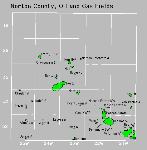

Abandoned
Horesky
Norton Townsite
Ray North
Spiess
Voss