| Year | Oil | Gas | ||||
|---|---|---|---|---|---|---|
| Production (bbls) |
Wells | Cumulative (bbls) |
Production (mcf) |
Wells | Cumulative (mcf) |
|
| 1995 | 198,046 | 400 | 70,094,871 | 753,633 | 139 | 33,421,582 |
| 1996 | 202,788 | 510 | 70,297,659 | 759,183 | 202 | 34,180,765 |
| 1997 | 184,298 | 496 | 70,481,957 | 680,329 | 199 | 34,861,094 |
| 1998 | 141,262 | 465 | 70,623,219 | 578,804 | 197 | 35,439,898 |
| 1999 | 151,189 | 388 | 70,774,408 | 577,230 | 195 | 36,017,128 |
| 2000 | 154,741 | 393 | 70,929,149 | 596,920 | 209 | 36,614,048 |
| 2001 | 140,654 | 416 | 71,069,803 | 564,618 | 204 | 37,178,666 |
| 2002 | 139,636 | 670 | 71,209,439 | 511,562 | 203 | 37,690,228 |
| 2003 | 143,162 | 658 | 71,352,601 | 562,664 | 208 | 38,252,892 |
| 2004 | 149,612 | 663 | 71,502,213 | 622,111 | 222 | 38,875,003 |
| 2005 | 137,404 | 357 | 71,639,617 | 735,329 | 229 | 39,610,332 |
| 2006 | 149,286 | 362 | 71,788,903 | 807,417 | 239 | 40,417,749 |
| 2007 | 136,899 | 348 | 71,925,802 | 693,979 | 241 | 41,111,728 |
| 2008 | 146,683 | 376 | 72,072,485 | 562,890 | 241 | 41,674,618 |
| 2009 | 156,186 | 374 | 72,228,671 | 528,795 | 240 | 42,203,413 |
| 2010 | 144,803 | 365 | 72,373,474 | 450,726 | 225 | 42,654,139 |
| 2011 | 151,400 | 344 | 72,524,874 | 400,373 | 219 | 43,054,512 |
| 2012 | 160,107 | 351 | 72,684,981 | 382,801 | 211 | 43,437,313 |
| 2013 | 175,601 | 364 | 72,860,582 | 359,603 | 216 | 43,796,916 |
| 2014 | 181,275 | 374 | 73,041,857 | 308,795 | 191 | 44,105,711 |
| 2015 | 158,826 | 333 | 73,200,683 | 256,428 | 196 | 44,362,139 |
| 2016 | 149,045 | 312 | 73,349,728 | 219,966 | 192 | 44,582,105 |
| 2017 | 147,159 | 305 | 73,496,887 | 220,584 | 195 | 44,802,689 |
| 2018 | 132,070 | 300 | 73,628,957 | 184,404 | 178 | 44,987,093 |
| 2019 | 111,913 | 277 | 73,740,870 | 145,689 | 156 | 45,132,782 |
| 2020 | 94,496 | 259 | 73,835,366 | 112,069 | 167 | 45,244,851 |
| 2021 | 98,649 | 227 | 73,934,015 | 106,454 | 140 | 45,351,305 |
| 2022 | 95,582 | 212 | 74,029,597 | 106,141 | 135 | 45,457,446 |
| 2023 | 89,722 | 213 | 74,119,319 | 66,057 | 62 | 45,523,503 |
| 2024 | 81,702 | 166 | 74,201,021 | 2,107 | 2 | 45,525,610 |
| 2025 | 38,552 | 144 | 74,239,573 | - | - | 45,525,610 |

| Abandoned | ||
|---|---|---|
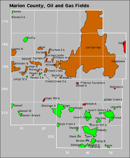
| Bartell Biscuit Hill Blackmur Cedar Creek |
Covert-Sellers East Greve Lehigh Southeast Remple |
Robinson Speir Stenzel |