| Year | Oil | Gas | ||||
|---|---|---|---|---|---|---|
| Production (bbls) |
Wells | Cumulative (bbls) |
Production (mcf) |
Wells | Cumulative (mcf) |
|
| 1995 | 573,589 | 748 | 86,089,687 | 9,094,590 | 592 | 750,870,371 |
| 1996 | 573,817 | 747 | 86,663,504 | 8,809,514 | 619 | 759,679,885 |
| 1997 | 539,161 | 710 | 87,202,665 | 8,731,535 | 614 | 768,411,420 |
| 1998 | 489,949 | 646 | 87,692,614 | 8,127,778 | 610 | 776,539,198 |
| 1999 | 503,240 | 660 | 88,195,854 | 7,767,313 | 602 | 784,306,511 |
| 2000 | 466,788 | 632 | 88,662,642 | 7,359,218 | 603 | 791,665,729 |
| 2001 | 477,908 | 630 | 89,140,550 | 7,501,265 | 611 | 799,166,994 |
| 2002 | 489,590 | 650 | 89,630,140 | 7,272,436 | 619 | 806,439,430 |
| 2003 | 485,410 | 652 | 90,115,550 | 7,179,434 | 626 | 813,618,864 |
| 2004 | 529,404 | 669 | 90,644,954 | 7,737,638 | 660 | 821,356,502 |
| 2005 | 585,659 | 703 | 91,230,613 | 7,947,390 | 704 | 829,303,892 |
| 2006 | 634,160 | 721 | 91,864,773 | 8,658,500 | 733 | 837,962,392 |
| 2007 | 613,714 | 693 | 92,478,487 | 8,556,930 | 754 | 846,519,322 |
| 2008 | 629,435 | 708 | 93,107,922 | 8,544,555 | 773 | 855,063,877 |
| 2009 | 604,598 | 740 | 93,712,520 | 7,792,640 | 774 | 862,856,517 |
| 2010 | 628,111 | 761 | 94,340,631 | 7,472,808 | 761 | 870,329,325 |
| 2011 | 551,960 | 746 | 94,892,591 | 7,261,312 | 764 | 877,590,637 |
| 2012 | 593,422 | 722 | 95,486,013 | 7,192,617 | 773 | 884,783,254 |
| 2013 | 565,657 | 786 | 96,051,670 | 6,927,472 | 783 | 891,710,726 |
| 2014 | 554,126 | 736 | 96,605,796 | 6,686,803 | 764 | 898,397,529 |
| 2015 | 480,404 | 694 | 97,086,200 | 6,134,232 | 768 | 904,531,761 |
| 2016 | 424,530 | 677 | 97,510,730 | 5,069,458 | 724 | 909,601,219 |
| 2017 | 417,134 | 662 | 97,927,864 | 4,813,250 | 718 | 914,414,469 |
| 2018 | 398,973 | 629 | 98,326,837 | 4,752,773 | 682 | 919,167,242 |
| 2019 | 377,333 | 621 | 98,704,170 | 4,519,717 | 661 | 923,686,959 |
| 2020 | 310,520 | 548 | 99,014,690 | 3,743,534 | 611 | 927,430,493 |
| 2021 | 304,433 | 513 | 99,319,123 | 3,744,181 | 592 | 931,174,674 |
| 2022 | 302,844 | 517 | 99,621,967 | 3,755,391 | 615 | 934,930,065 |
| 2023 | 285,952 | 516 | 99,907,919 | 2,864,426 | 595 | 937,794,491 |
| 2024 | 284,649 | 509 | 100,192,568 | 2,582,091 | 547 | 940,376,582 |
| 2025 | 268,009 | 496 | 100,460,577 | 2,738,896 | 542 | 943,115,478 |
| 2026 | 63,100 | 371 | 100,523,677 | 670,007 | 497 | 943,785,485 |
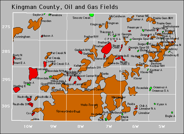

Abandoned
Allender
Evan Mound
Freemyer
Georgia Spur Northeast
Kostner
Kysor
Orsemus South
Ruth
Saylor
Varner