| Year | Oil | Gas | ||||
|---|---|---|---|---|---|---|
| Production (bbls) |
Wells | Cumulative (bbls) |
Production (mcf) |
Wells | Cumulative (mcf) |
|
| 1995 | 233,707 | 234 | 19,542,247 | - | - | 0 |
| 1996 | 196,937 | 202 | 19,739,184 | - | - | 0 |
| 1997 | 176,611 | 211 | 19,915,795 | - | - | 0 |
| 1998 | 147,933 | 164 | 20,063,728 | - | - | 0 |
| 1999 | 120,455 | 130 | 20,184,183 | - | - | 0 |
| 2000 | 130,423 | 126 | 20,314,606 | - | - | 0 |
| 2001 | 131,553 | 131 | 20,446,159 | - | - | 0 |
| 2002 | 145,939 | 125 | 20,592,098 | - | - | 0 |
| 2003 | 135,852 | 127 | 20,727,950 | - | - | 0 |
| 2004 | 127,644 | 127 | 20,855,594 | - | - | 0 |
| 2005 | 209,815 | 130 | 21,065,409 | - | - | 0 |
| 2006 | 316,649 | 153 | 21,382,058 | - | - | 0 |
| 2007 | 339,761 | 168 | 21,721,819 | - | - | 0 |
| 2008 | 425,441 | 180 | 22,147,260 | - | - | 0 |
| 2009 | 327,014 | 186 | 22,474,274 | - | - | 0 |
| 2010 | 288,124 | 176 | 22,762,398 | - | - | 0 |
| 2011 | 276,139 | 187 | 23,038,537 | - | - | 0 |
| 2012 | 251,222 | 186 | 23,289,759 | - | - | 0 |
| 2013 | 241,830 | 190 | 23,531,589 | - | - | 0 |
| 2014 | 290,573 | 204 | 23,822,162 | - | - | 0 |
| 2015 | 267,906 | 220 | 24,090,068 | - | - | 0 |
| 2016 | 250,766 | 190 | 24,340,834 | - | - | 0 |
| 2017 | 216,998 | 184 | 24,557,832 | - | - | 0 |
| 2018 | 213,132 | 179 | 24,770,964 | - | - | 0 |
| 2019 | 190,575 | 176 | 24,961,539 | - | - | 0 |
| 2020 | 169,009 | 177 | 25,130,548 | - | - | 0 |
| 2021 | 191,513 | 170 | 25,322,061 | - | - | 0 |
| 2022 | 205,927 | 166 | 25,527,988 | - | - | 0 |
| 2023 | 198,449 | 174 | 25,726,437 | - | - | 0 |
| 2024 | 201,536 | 166 | 25,927,973 | - | - | 0 |
| 2025 | 172,615 | 163 | 26,100,588 | - | - | 0 |
| 2026 | 40,243 | 138 | 26,140,831 | - | - | 0 |
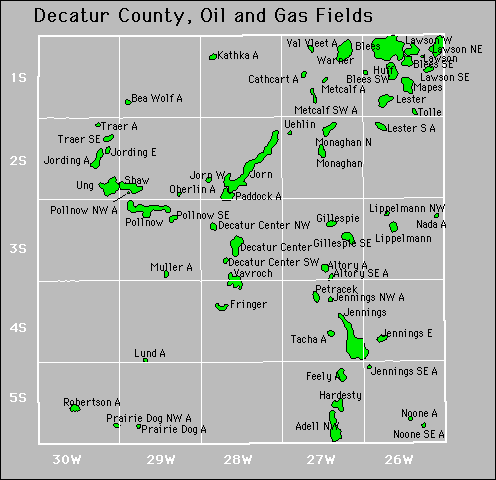

Abandoned
Cathcart
Feely
Jennings Northwest
Jennings Southeast
Metcalf
Noone
Oberlin
Paddock
Pollnow Northwest