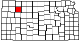
Sheridan County
|
|
Sheridan County |
|
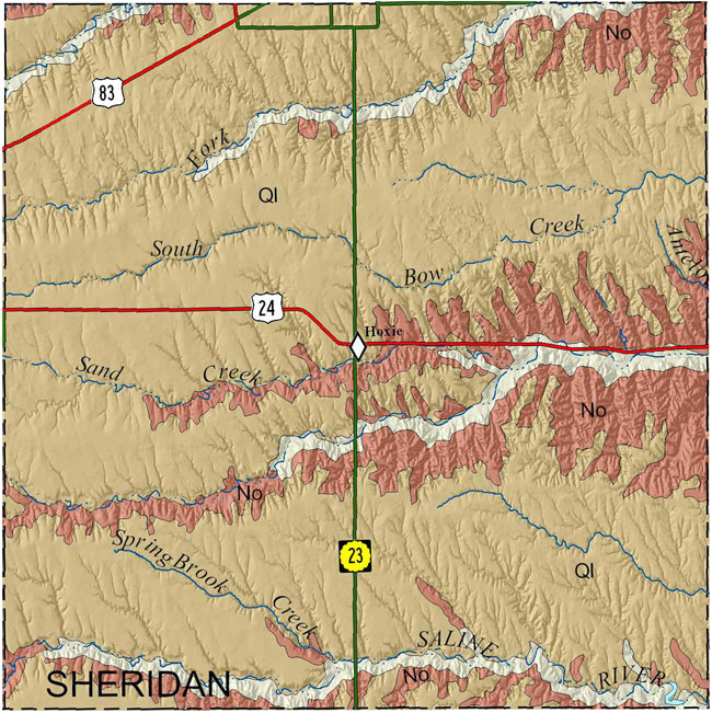
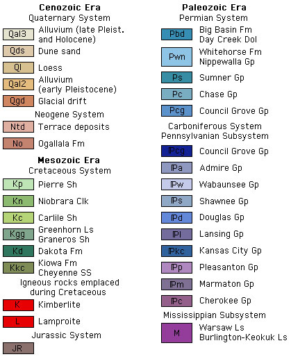
Because no detailed digital mapping has been done for this county, this map is extracted from the state geologic map.
|
|
Bayne, C.K., 1956, Geology and ground-water resources of Sheridan County, Kansas: Kansas Geological Survey, Bulletin 116, 94 p. [available online]
Cartographic Services, Kansas Geological Survey
Updated December 9, 2020
Comments to webadmin@kgs.ku.edu
URL=http://www.kgs.ku.edu/General/Geology/County/rs/sheridan.html