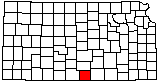
Harper County
|
|
Harper County |
|
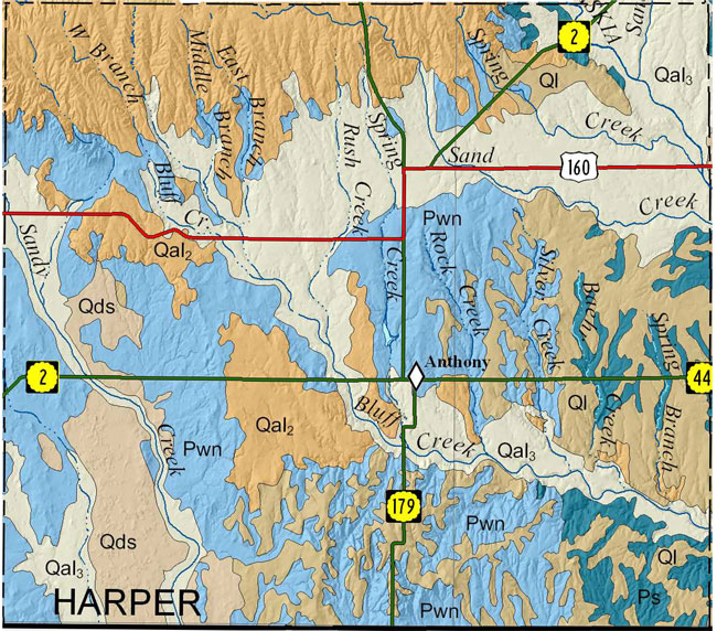
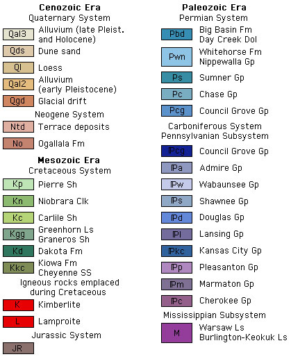
Because no detailed digital mapping has been done for this county, this map is extracted from the state geologic map.
Help us direct future mapping activities by leaving your voluntary comments here.
Comments about how you are using these maps are especially appreciated. Thank you!
|
|
Bayne, C.K., 1960, Geology and ground-water resources of Harper County, Kansas: Kansas Geological Survey, Bulletin 143, 183 p. [available online]
As part of U.S. Geological National Cooperative Geologic Mapping Program (STATEMAP), the KGS has produced 7 1/2 minute quadrangle maps as part of the Harper County geologic mapping project.
Smith, J.J., and Dunham, J.W., 2018, Preliminary surficial geology of the Bluff City East quadrangle, Harper and Sumner counties, Kansas: Kansas Geological Survey, Open-file Report 2018-12, 1 sheet, scale 1:24,000, unpublished [PDF available online]
Smith, J.J., and Dunham, J.W., 2018, Preliminary surficial geology of the Bluff City West quadrangle, Harper County, Kansas: Kansas Geological Survey, Open-file Report 2018-13, 1 sheet, scale 1:24,000, unpublished [PDF available online]
Smith, J.J., and Dunham, J.W., 2018, Preliminary surficial geology of the Spring Quadrangle, Harper County, Kansas: Kansas Geological Survey, Open-file Report 2018-14, 1 sheet, scale 1:24,000, unpublished [PDF available online]
Smith, J.J., and Dunham, J.W., 2019, Preliminary surficial geology of the Argonia quadrangle, Harper and Sumner counties, Kansas: Kansas Geological Survey, Open-file Report 2019-13, 1 sheet, scale 1:24,000, unpublished [PDF available online]
Smith, J.J., and Dunham, J.W., 2019, Preliminary surficial geology of the Freeport quadrangle, Harper and Sumner counties, Kansas: Kansas Geological Survey, Open-file Report 2019-14, 1 sheet, scale 1:24,000, unpublished [PDF available online]
Cartographic Services, Kansas Geological Survey
Updated December 8, 2020
Comments to webadmin@kgs.ku.edu
URL=http://www.kgs.ku.edu/General/Geology/County/ghj/harper.html