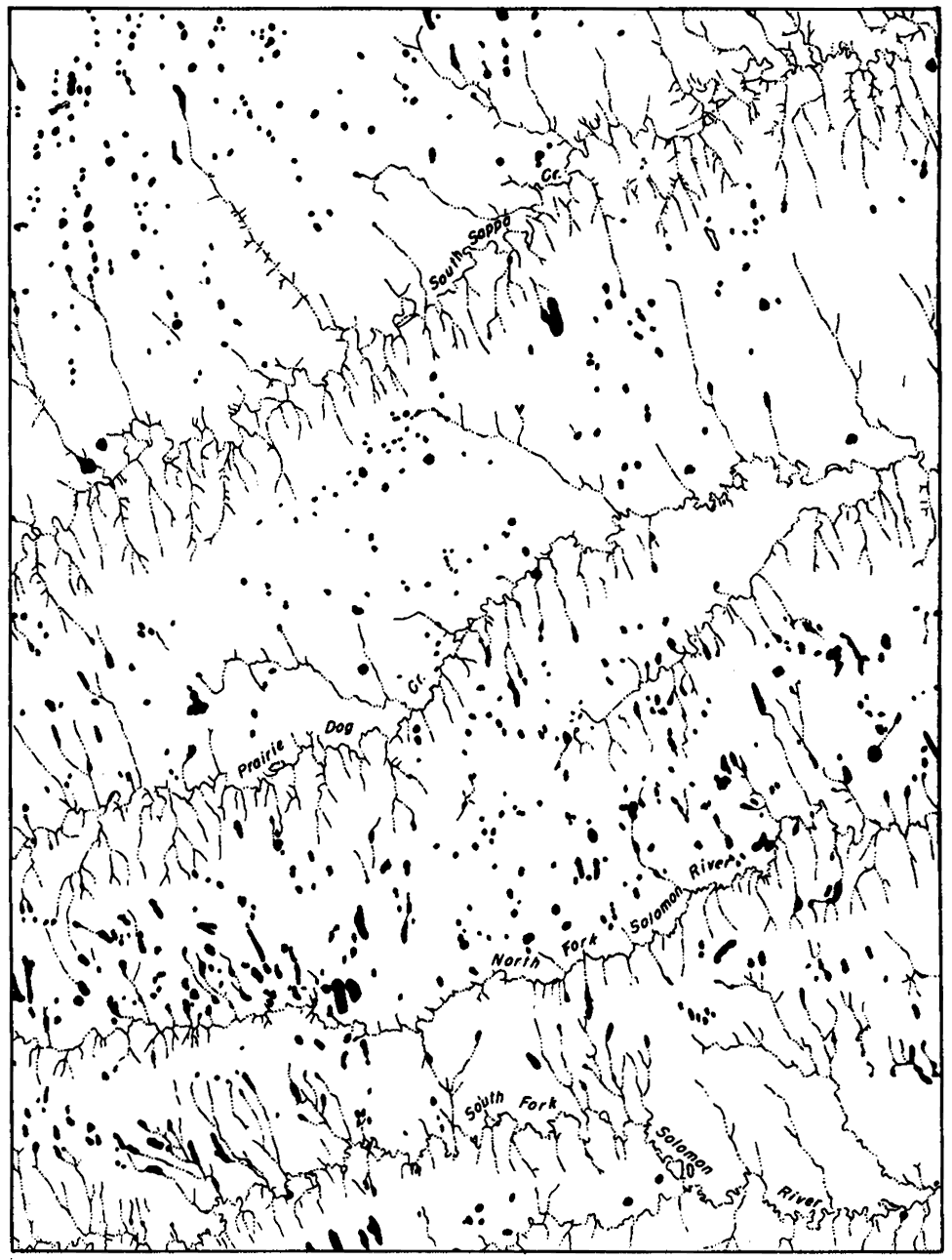
Figure 1--Drainage and intermittent ponds from the Colby 15-minute quadrangle, Thomas County, Kansas. Map by U.S. Geological Survey. Note the abundance of depressions, indicated by ponds, in the broad upland divide areas. These areas are underlain by about 30 feet of late Pleistocene loess 150 to 250 feet of Ogallala formation (Pliocene) and Pierre shale.
Kansas Geological Survey, Geology
Placed on web September 2005; originally published March 15, 1951.
Comments to webadmin@kgs.ku.edu
The URL for this page is http://www.kgs.ku.edu/Publications/Bulletins/86_1/fig1.html