![]()
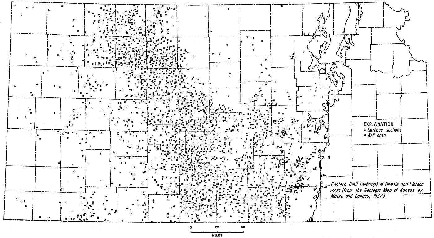
Figure 46
Figure 46--Map showing location of surface and subsurface control points used in constructing Florena isopachus map (Fig. 45).
Kansas Geological Survey, Geologic History of Kansas
Comments to webadmin@kgs.ku.edu
Web version Jan. 2009. Original publication date Dec. 1963.
URL=http://www.kgs.ku.edu/Publications/Bulletins/162/fig046.html