![]()
Back to Stone Corral Formation...
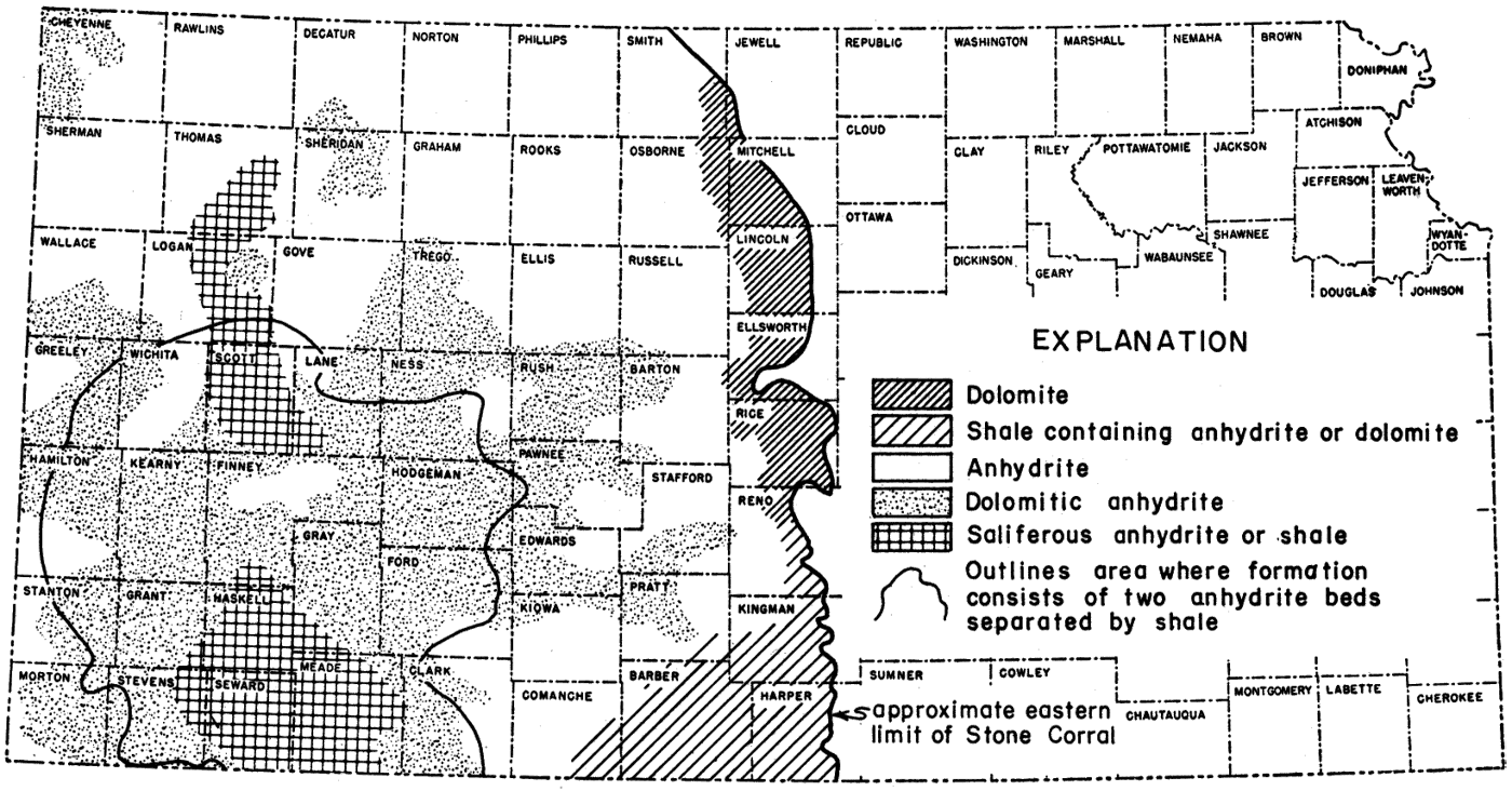
Figure 40
Figure 40--Generalized surface and subsurface distribution of lithologic types in Stone Corral Formation. North of Rice County, eastern limit of formation is covered by later deposits, whereas formation crops out discontinuously south of east-central Rice County (from Merriam, 1957a).
Back to Stone Corral Formation...
Kansas Geological Survey, Geologic History of Kansas
Comments to webadmin@kgs.ku.edu
Web version Jan. 2009. Original publication date Dec. 1963.
URL=http://www.kgs.ku.edu/Publications/Bulletins/162/fig040.html