![]()
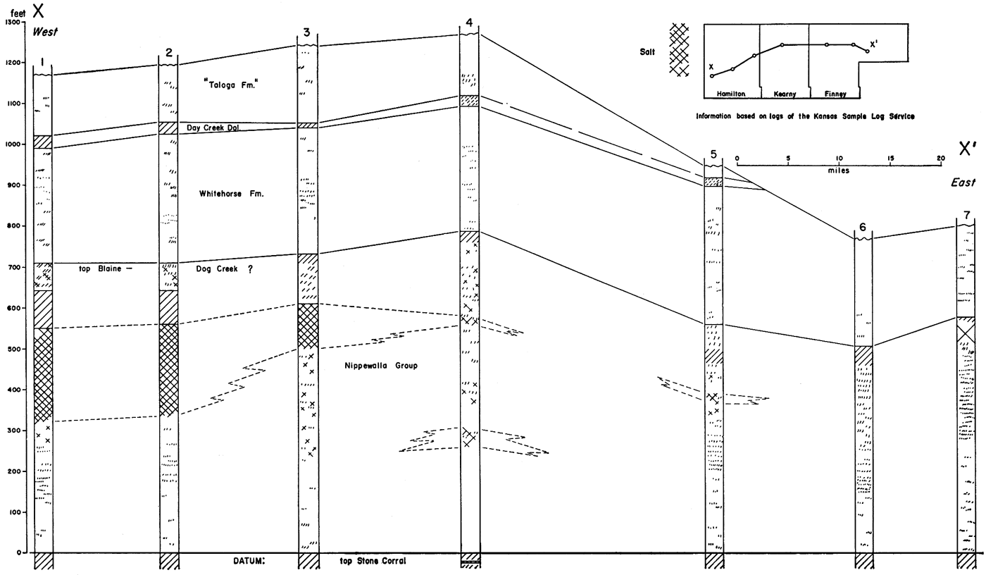
Figure 38
Figure 38--Cross section in southwestern Kansas showing stratigraphic position of salt in Nippewalla Group in Permian redbed sequence. Where not possible in subsurface to differentiate Dog Creek, which is stratigraphic top of Nippewalla, top of Blaine is shown. Note lateral equivalent of "solid" salt.
Kansas Geological Survey, Geologic History of Kansas
Comments to webadmin@kgs.ku.edu
Web version Jan. 2009. Original publication date Dec. 1963.
URL=http://www.kgs.ku.edu/Publications/Bulletins/162/fig038.html