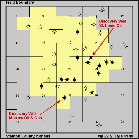
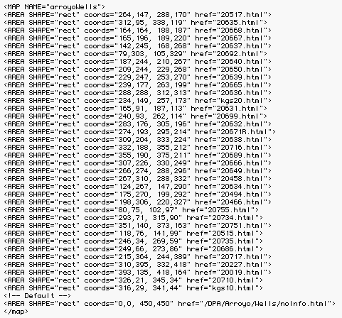
Figure 6. Sample field map from the DPA for a small field (Arroyo Field, Stanton, County). Because of the small size of the field and small number of wells the field map was easily linked to the well pages using ImageMap HTML command. Page is available online at http://www.kgs.ku.edu/DPA/Arroyo/arroyoMain.html.