
Southeast Kansas Coal Geology Field Trips
Open-file Report 2002-27
|
|
|
Kansas Geological Survey Open-file Report 2002-27 |
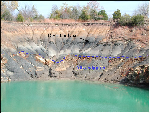
View looking northeast in large pit. Mine subsidence area in
the SW Sec. 10, T35S, R24E, Cherokee Co. KS. Riverton coal is
exposed just above the Mississippian. Large Pit. Coal appears
to thicken into lows on Mississippian karst surface.
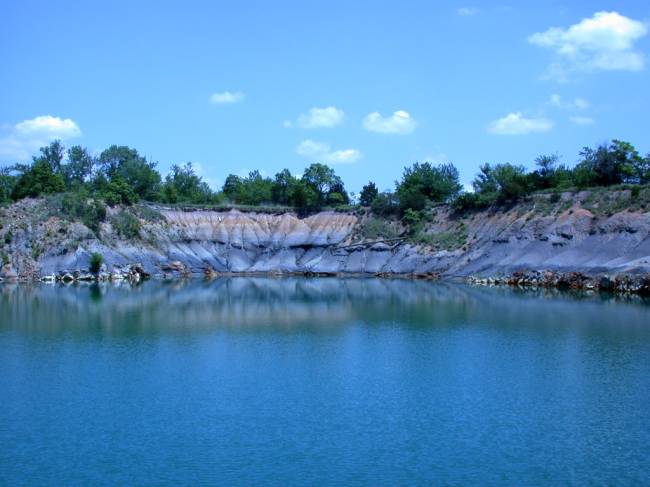
View looking northeast in large pit. Mine subsidence area in
the SW Sec. 10, T35S, R24E, Cherokee Co. KS. Riverton coal is
exposed above the Mississippian. Coal appears to thicken into
lows on Mississippian karst surface. From June Field Trip.
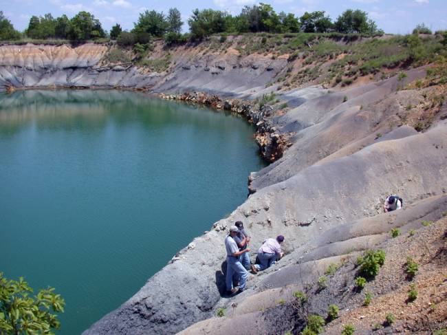
View looking northeast in large pit. Mine subsidence area in
the SW Sec. 10, T35S, R24E, Cherokee Co. KS. Riverton coal is
exposed above the Mississippian. Coal appears to thicken into
lows on Mississippian karst surface. From June Field Trip.
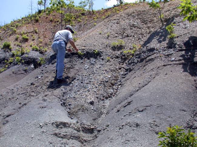
Mine subsidence area in the SW Sec. 10, T35S, R24E, Cherokee
Co. KS. Riverton coal is exposed just above the Mississippian.
Large Pit. Close-up showing Riverton Coal exposed on south edge
of large pit. From June Field Trip.
|
|
e-mail
: webadmin@kgs.ku.edu
Last updated June 2002
http://www.kgs.ku.edu/PRS/publication/2002/ofr27/P1-11.html