Slide 9 of 23
Notes:
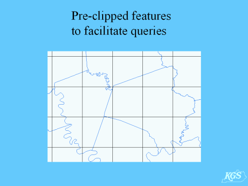
Another challenge for managing SDE data relates to the potentially large size of state-wide databases. For example, the KGS 1:24,000 geologic map database, when complete, will comprise707 detailed vector datasets that have been edgematched and joined. While SDE does support spatial queries using a tiling scheme, it will not be effective with such databases because many merged features can cover as much as 30% of the state.
KGS decided to pre-intersect these complex feature classes with commonly queried geographic extents (i.e., county and quadrangle outlines). This not only facilitates faster queries, but simplifies the process of preparing finished map layouts.