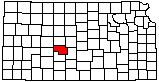
Pawnee County
|
|
Pawnee County |
|
Help us direct future mapping activities by leaving your voluntary comments here.
Comments about how you are using these maps are especially appreciated. Thank you!
Pawnee County Geographic Map Files |
||
|---|---|---|
| JPEG version of the map (72 dpi, 3.7 MB): | view | download |
| JPEG version of the map (300 dpi, 41.8 MB): | view | download |
| PDF of the published map (17 MB): | view | download |
|
|
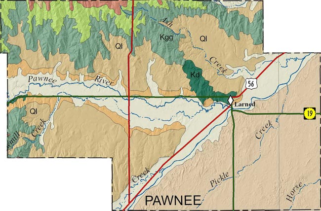
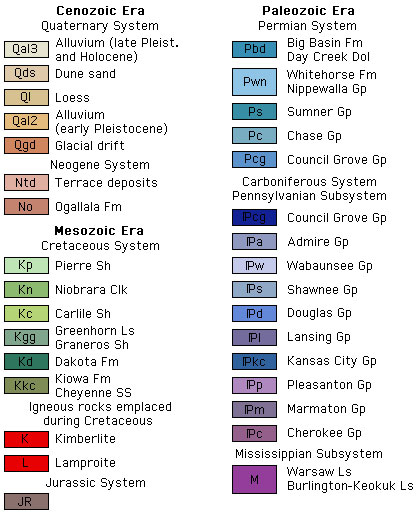
Johnson, W. C., and Woodburn, T. L., 2015, Surficial geology of Pawnee County, Kansas; text, geologic-unit descriptions, and cross-section geology by C. M. Phillips-Lander: Kansas Geological Survey, Map M-114, scale 1:50,000
Paper copies of the complete map (with stratigraphic column and legend info) can be purchased from the Kansas Geological Survey, 1930 Constant Ave., Lawrence, KS 66047 (or phone 785-864-3965) and at 4150 W. Monroe St., Wichita, KS 67209-2640 (phone 316-943-2343).
McLaughlin, T.G., 1949, Geology and ground-water resources of Pawnee and Edwards counties, Kansas, with analyses by H.A. Stoltenberg: Kansas Geological Survey, Bulletin 80, 189 p. (out of print, available online)
Cartographic Services, Kansas Geological Survey
Updated December 9, 2020
Comments to webadmin@kgs.ku.edu
URL=http://www.kgs.ku.edu/General/Geology/County/nop/pawnee.html