


Chapter 1 of The Kansas River Corridor--Its Geologic Setting,
Land Use, Economic Geology, and Hydrology
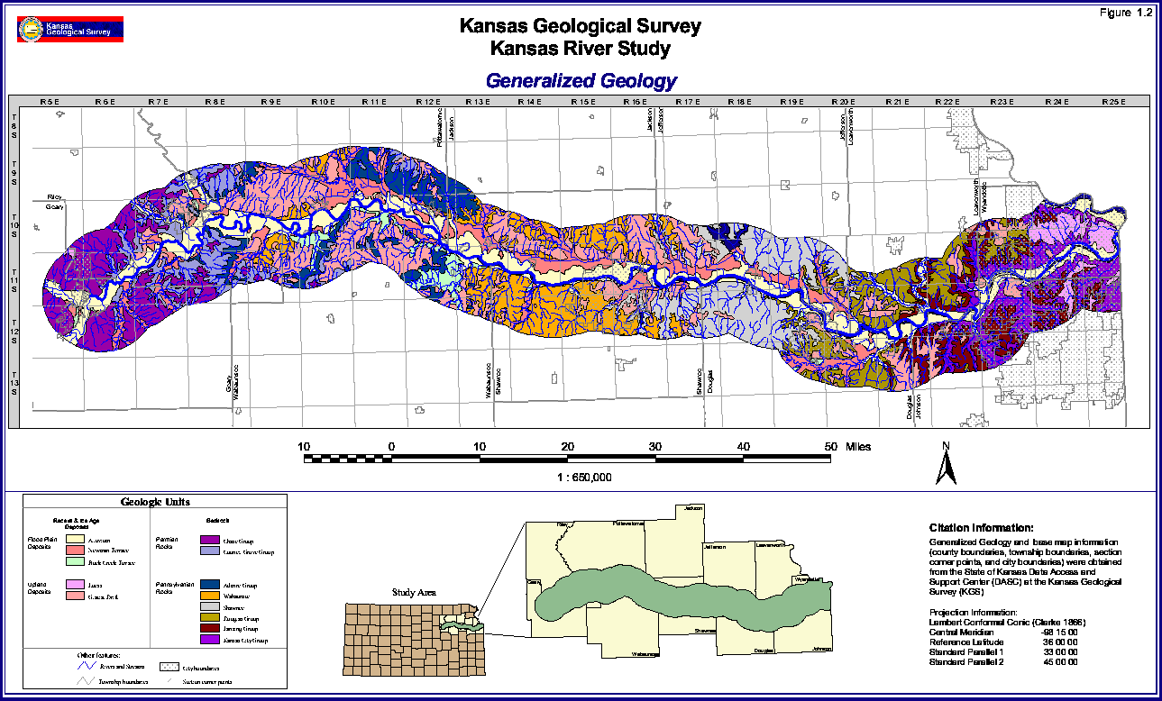
Figure 1.2--Generalized Geologic Map
A large version (35" by 21" at 72 pixels per inch)
is also available. The large-scale picture is 247k and will take some time to
download.
Back to chapter 1...
Kansas Geological Survey, Kansas River
Corridor Study
Electronic version Jan. 13, 1998.
Comments to webadmin@kgs.ku.edu
The URL for this page is HTTP://www.kgs.ku.edu/Publications/KR/kr_fig1-2sm.html