


Kansas Geological Survey, Open File Report 96-49
A High-Frequency Ground-Penetrating Radar Study of The Drum Limestone, Montgomery County, Kansas
by Joseph M. Kruger,
Alex Martinez,
and Evan K. Franseen,
Kansas Geological Survey, Lawrence, KS
Introduction
A pilot study to determine the usefulness of high-frequency
ground-penetrating radar (GPR) methods in delineating geometries,
erosional truncation surfaces, and internal bedding features
within carbonate and clastic strata was undertaken in the
Spring of 1995. High-frequency ground-penetrating radar methods
are capable of resolving shallow subsurface features in great
detail. These methods have the potential of allowing internal
geometries and bedding features of rock units to be studied
beyond outcrop faces, thereby adding stratigraphic information
to databases where outcrop information is limited. This method
also has potential for adding high resolution 3-D information
to carbonate and sandstone reservoir analog studies. This
information is necessary for a better understanding of reservoir characteristics at a scale that well or seismic information
alone cannot provide. Previous GPR limestone outcrop studies
have used low frequency antennas (< 450 MHz) in order to maximize
signal penetration
(e.g. Pratt and Miall, 1993;
Liner and Liner, 1995).
Although results from these studies are often satisfactory, they
sometimes lack the frequency content necessary to fully resolve
fine-scale stratigraphic features (< 0.5 m). The antenna used
in the pilot study at this and other sites
(Kruger et al., 1995;
Martinez et al., 1995a, b)
had a dominant frequency of 500 MHz. Although signal
penetration depths were not as great as studies involving
lower frequency antennas, the resolution was higher and on the
order of 0.1-0.2 m.
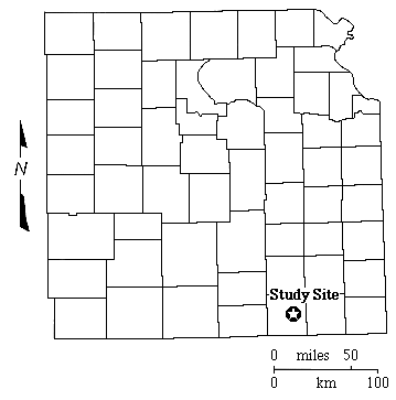
Results from GPR imaging of the Drum Limestone in Montgomery
County, Kansas are the topic of this report (Fig. 1). The Drum
Limestone has received much recent attention
(e.g. Feldman and Franseen, 1991;
Feldman et al., 1993; Miller et al., 1995; Franseen et al.,
1995; Gomez et al., 1995)
because it is a surface and shallow subsurface analog for oolitic
reservoirs in the Lansing-Kansas City Groups in central and
western Kansas. This study continues detailed investigations
of the Drum reservoir analog facies. Specifically, two
perpendicular GPR profiles were acquired in the oolitic
facies in an effort to generate high resolution images of
geometries such as, 3-D aspects of the oolite body, bounding
surfaces, and other details that may be important to
understanding internal reservoir characteristics and
heterogeneities. Combined with outcrop information, these
images demonstrate that GPR is useful for very near-surface
correlation of the cross-bedded oolitic facies, particularly
where the outcrop is covered. Results from these profiles also
indicate the utility of acquiring a grid of GPR profiles to
generate a 3-D image of the oolitic facies and add to the
outcrop information.
Figure 1--Map of eastern kansas with county
outlines showing the location of the Drum Limestone GPR study
site in Montgomery County.
Report Contents ||
Next Page--Geologic Setting
Kansas Geological Survey, Open-File Report 96-49
Placed online Jan. 1997
Comments to webadmin@kgs.ku.edu
URL=http://www.kgs.ku.edu/PRS/publication/OFR96_49/rep1.html