Kansas Geological Survey, Open File Report 96-49
Figure 6a--Uninterpreted version of GPR line D2. This line is primarily a strick line with respect to cross-bedding, and is perpendicular to both line D1 and the highwall outcrop (Fig. 2). Station locations (ft) are indicated along the bottom of the section as well as by vertical lines on the GPR data every five stations. CDP locations which indicate the trace number are indicated along the top of the section. The profile is an unmigrated time section with the vertical scale in nanoseconds. An approximate depth scale is indicated which assumes a velocity of 0.12 m/ns. An approximate horizontal scale is also indicated which assumes a constant trace spacing of 3 cm/trace.
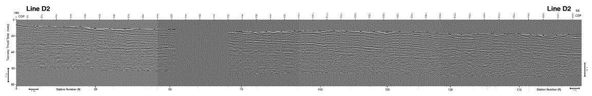
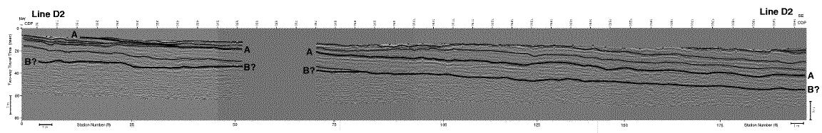
Figure 6b--Interpreted version of line D2. Major reflections which are correlated with the major horizons or bounding surfaces on the photomosaic are indicated by thicker lines and labels. Other prominent reflections are indicated by thinner lines and do not necessarily correlate with the bed boundaries interpreted on the photomosaic.