 |

|
Kansas Geological Survey Open-file Report 2003-33 |
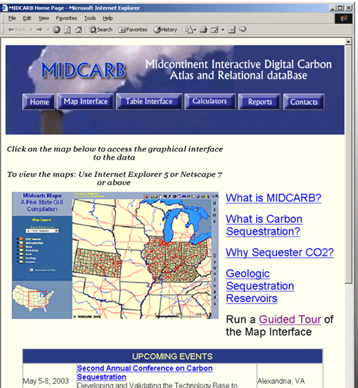
Clicking on the map image will bring up the MIDCARB Internet Map Server (IMS) which can issue spatial data queries to spatial data engines operating on servers in each of the five states of the consortium. The IMS approach is scalable and additional states and organizations could be added with little additional effort.
The MIDCARB site also provide access to calculators and table query. All tools access data from multiple states.
|
|
|
e-mail : webadmin@kgs.ku.edu
Last updated June 2003
http://www.kgs.ku.edu/PRS/publication//2003/2003-33/P2-01.html
Last updated June 2003
http://www.kgs.ku.edu/PRS/publication//2003/2003-33/P2-01.html