 |
|
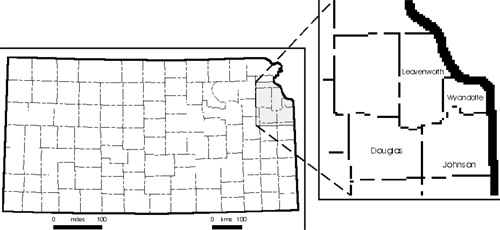
Kansas Geological Survey Open-file Report 2003-26 |
 |
|
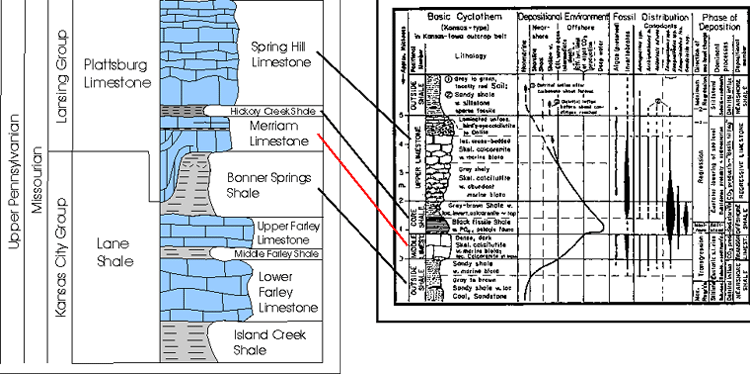
Generalized stratigraphic column showing typical lithologies and relationships of the investigated units (Plattsburg Limestone and Bonner Springs Shale) in the study area. Lines show where these units fit within the typical Kansas cyclothem model of Heckel (1984). Note the thin transgressive carbonate unit described in the model.
|
|
|
e-mail : webadmin@kgs.ku.edu
Last updated May 2003
http://www.kgs.ku.edu/PRS/publication/2003/ofr2003-26/ P1-03.html