|
|
|
|
Kansas Geological Survey, Open-file Report 2001-14
2000 Digital Petroleum Atlas Annual Report

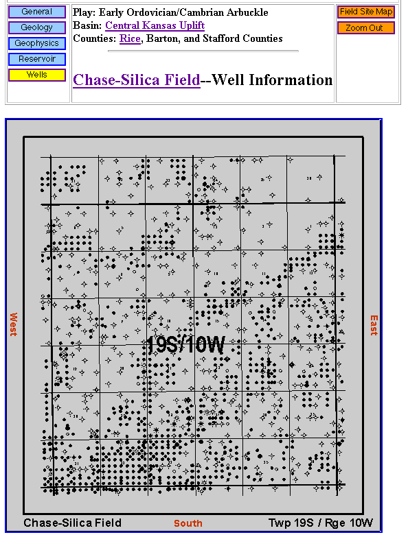
Figure 7. Large fields are split into several sections so that the user can view the wells in greater detail. From this scale of map, the user can select a set of wells from any Township-Range-Section block. The Oracle database can then assemble the set of wells desired, and creates web pages for each well. The user can pan through out the entire field by clicking on the directional controls. Page is available online at: http://www.kgs.ku.edu/DPA/Chase/Wells/19S10W.html.
| Table of Contents | Previous Page | Figure 6 | Next Page | Figure 8 |