|
|
|
|
Kansas Geological Survey, Open-file Report 2001-14
2000 Digital Petroleum Atlas Annual Report
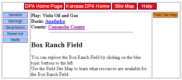
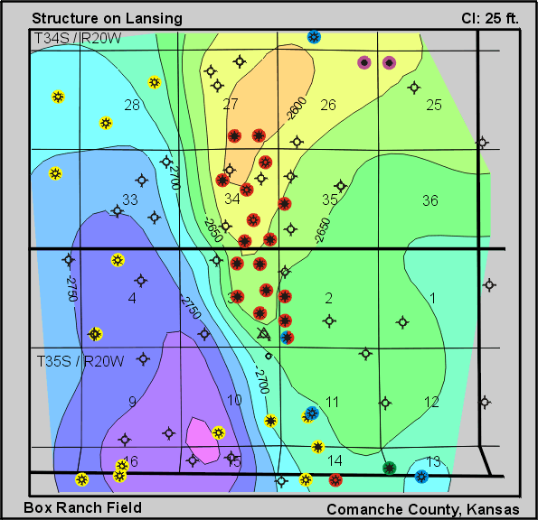
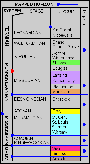
Figure 12. Sample of detailed geologic map covering a portion of Box Ranch Field, Comanche County. Page shows navigation buttons and selection of stratigraphic horizons. Map contains links to topical data, maps, cross-sections, technical discussions, production, data, and detailed lease and well information.
| Table of Contents | Previous Page | Figure 11 | Next Page | Figure 13 |