
Midcontinent Interactive Digital Carbon Atlas and
Relational Database (MIDCARB)
Kansas Geological Survey
Open-file Report 2002-7
|
|
|
Kansas Geological Survey Open-file Report 2002-7 |
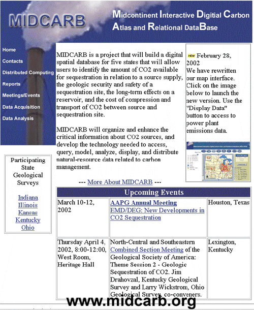 |
Clicking on the map image will bring up the MIDCARB Internet Map Server (IMS) which can issue spatial data queries to spatial data engines operating on servers in each of the five states of the consortium. The IMS approach is scalable and additional states and organizations could be added with little additional effort. |
|
|
|
e-mail : webadmin@kgs.ku.edu
Last updated March 2002
http://www.kgs.ku.edu/PRS/Poster/2002/2002-7/P2-01.html