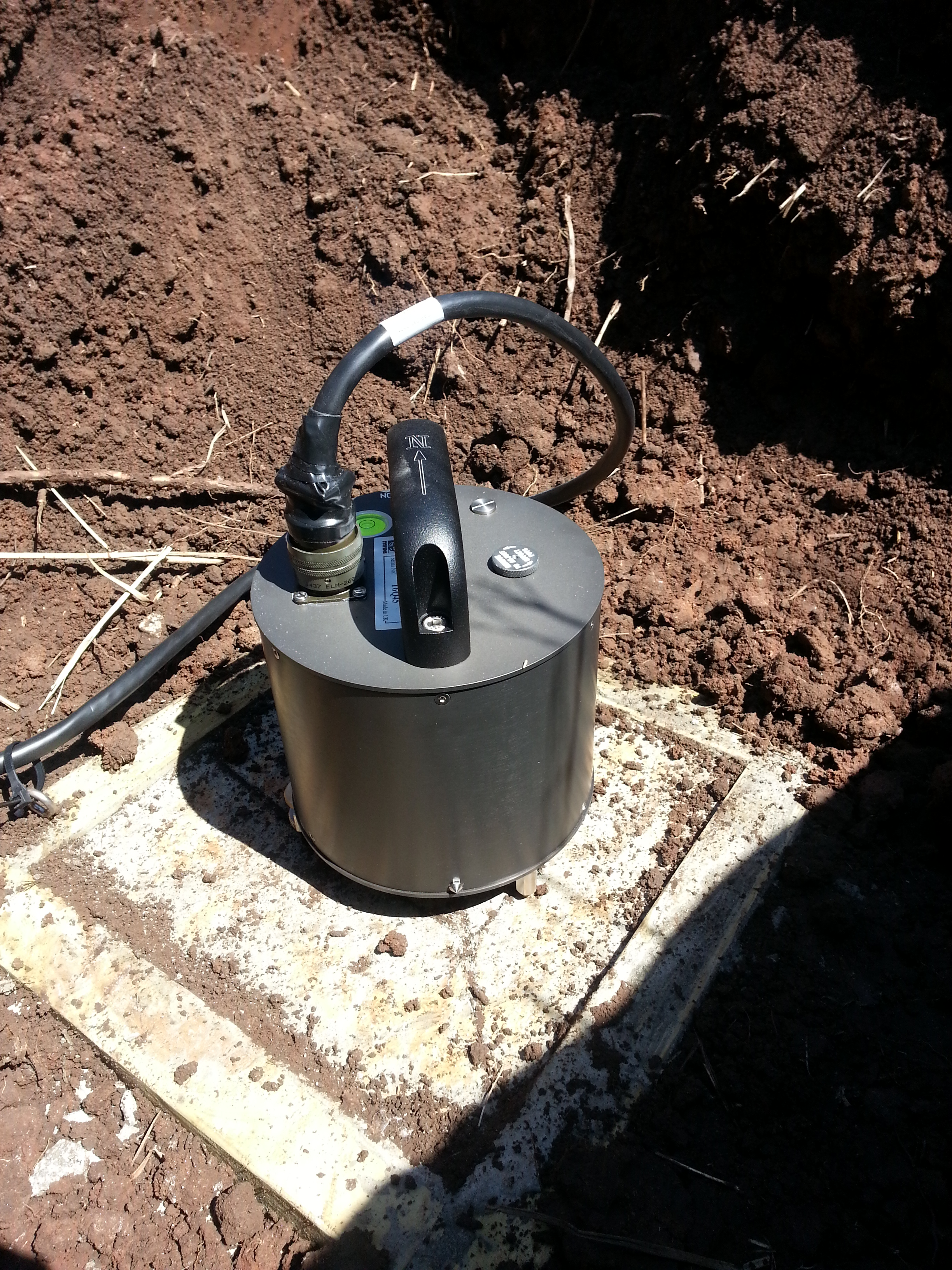
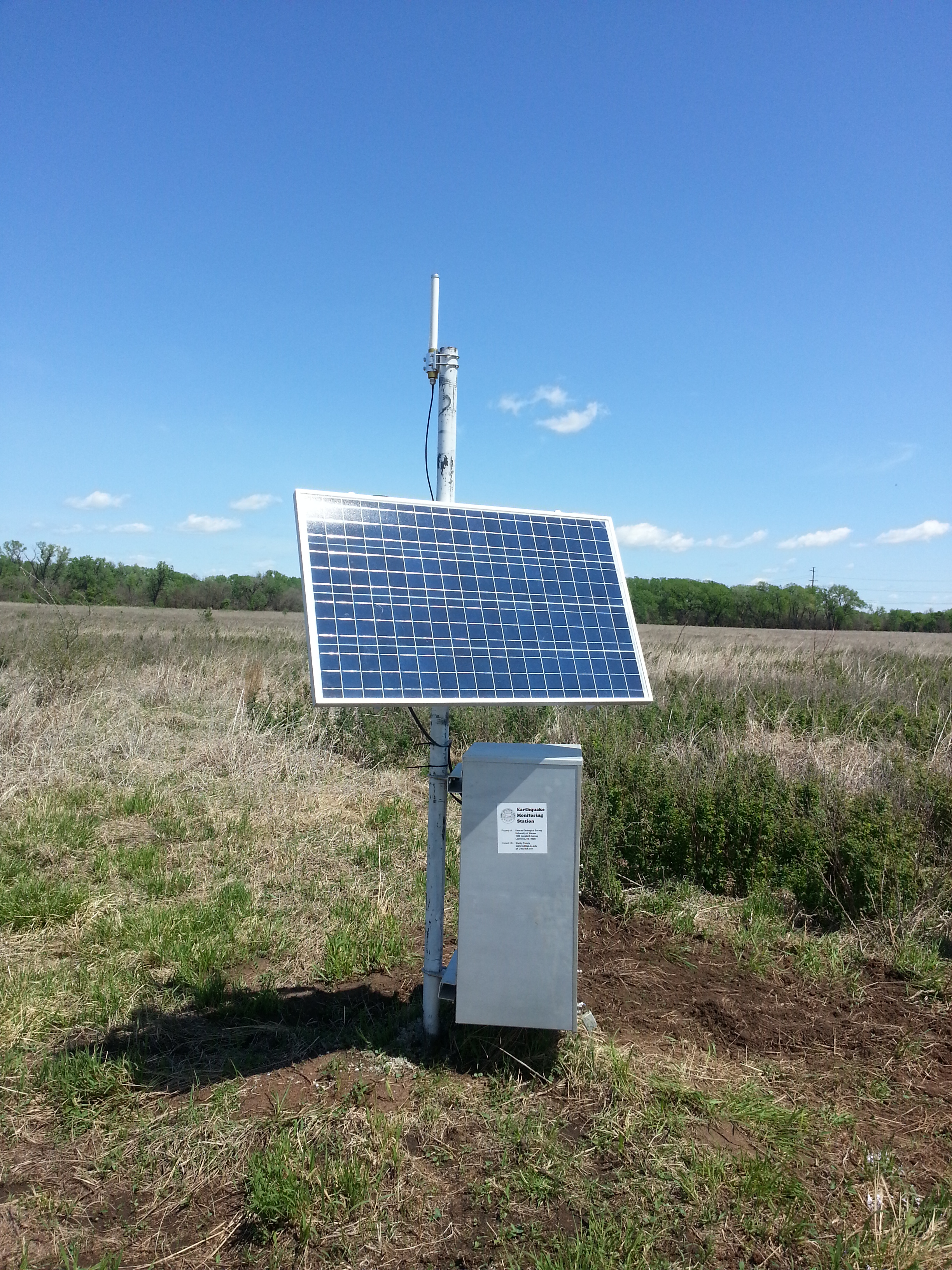
Seismometer Network
Select a station from the map or station listing to explore real-time information from the state's network of seismometers.
Select a station from the map or station listing to explore real-time information from the state's network of seismometers.
Click on a station to view the data we are receiving from the seismometer. Each line of the image shows one half-hour's worth of data. The images will automatically refresh every 3 minutes.
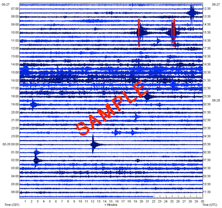
The three charts displayed for each station are for Vertical, East-West, and North-South movements. For more information on seismograms, please visit this page from the U.S. Geological Survey.