|
|
|
|
Photos from October 2003--P0003107 |
|
|
|||
| Prev Photo || Photo Index |
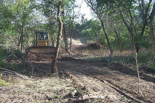
| The old gravel pit has several old mined-out ponds and channels that have left a hummocky topography. With a few exceptions, the source paths are straight north/south.
|
|
Kansas Geological Survey, 4-D Seismic Monitoring of CO2 Injection Project Placed online Oct. 10, 2003 Comments to webadmin@kgs.ku.edu The URL is HTTP://www.kgs.ku.edu/Geophysics/4Dseismic/Photos/Jun03/P0003107.html |