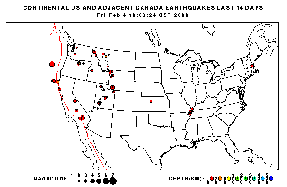
The quake is shown on the St. Louis University central North American earthquake map. The figure below is adapted from their map.
The U.S. Geological Survey National Earthquake Information Center has an Earthquake Bulletin [link removed, no longer working] on this event. The page contains maps and data on the earthquake. In additional, they have a form to fill out if you felt the quake. Evidence from people who have experienced earthquakes is useful in understanding how future quakes will affect a region and in comparing new quakes to historical events.
The Kansas Geological Survey has a Public Information Circular on Earthquakes. Most Kansans have never felt a tremor, but more than 100 earthquakes rumbled through the state betwen 1977 and 1989. This circular acquaints the reader with the theory of plate tectonics, recording and measuring methods, and earthquake activity in Kansas.
Information on earthquakes in the central United States can be found here: