
Pottawatomie County--KDOT Sites
Pott Co. Hwy. 16: KDOT 16-75 K-5654-01. Bridge Project
Title: Geotechnical Unit, Geology Section. Geology Report, June 1997
From: Gary R. Koontz, Chief Geologist. By David Streiler, Geologist II. Delmar Thompson, Regional Geologist.
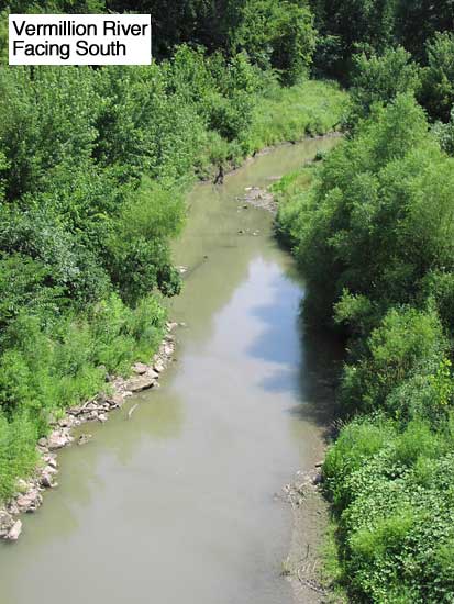
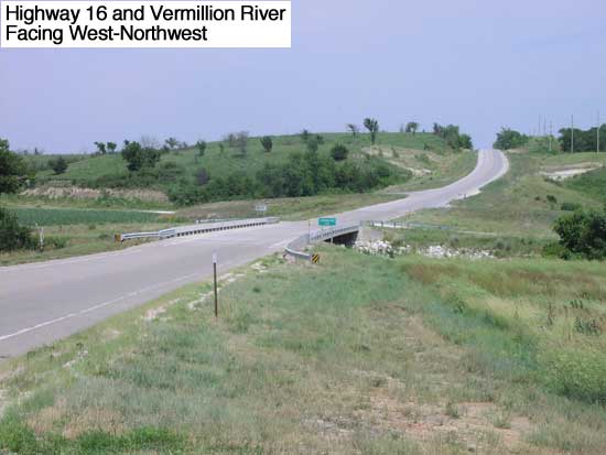
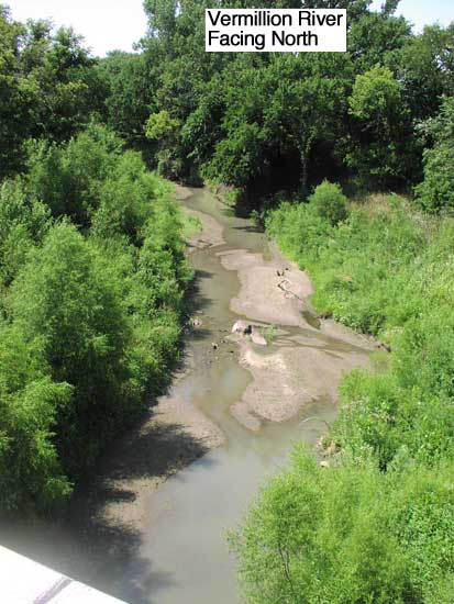
Subject: 16-75 K-5654-01. Bridge approaches to Vermillion River Bridge (023), 1.26 kilometers (0.78 mile) east of K-259 Jct. Pottawatomie County
KDOT Geology Report, Acrobat PDF file, 160 kB
Measured section, core info, Acrobat PDF file, 92 kB
Bridge plan and geology profile, Acrobat PDF file, 672 kB
Overview information for this project:
Pott Co. Hwy. 16: KDOT 16-75 S-1305 (2)
Title: State Highway Commission of Kansas, July 1963
Report, Field Notes, Plans and Profiles