|
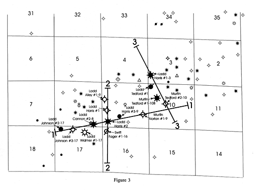
| Figure 3. Location map of seismic survey and wells in T30S, R25W. Seismic lines are indicated by dark lines numbered 1 to 3. Major wells used to construct stratigraphic sections and correlate with the seismic data are labeled and have larger well symbols. |