http://www.kgs.ku.edu/PRS/AAPG2005/forestcity/p3-01.html
Last Modified August 2005
|
Stratigraphic Architecture of Lower to Middle Pennsylvanian Coal-beds in the Forest City Basin of Northeastern Kansas |
Kansas Geological Survey |
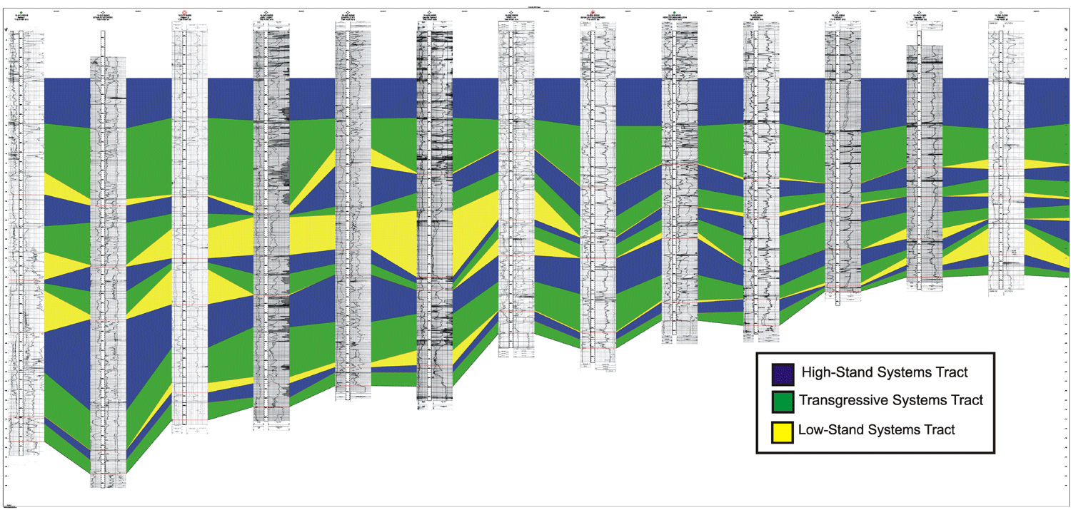
 Sequence stratigraphic concepts provide a model to explain and predict the lateral distribution, relative thickness, and depositional environment of coal-beds in the Cherokee Group. The preservation and continued growth of peat is dependent on a rising water table and high accommodation space achieved by relative base level rise (McCabe and Parrish, 1992). The most extensive, thickest, and lower-ash coals are interpreted to occur at or near the maximum flooding surface at the end of deposition of the transgressive systems tract as water tables at this time would have been at their greatest extent. However, coals are not restricted to the Transgressive systems tract and occur in any systems tract. Incised-valley-fills and laterally equivalent inter-fluvial areas are interpreted as sequence boundaries, although non-Waltherian vertical facies changes are rarely extreme. Systems tracts are more easily identified on the basis of vertical changes in lateral extent and thickness of coals given the well spacing than with parasequence stacking patterns. Generally, coals tend to thicken and become more laterally extensive through the transgressive systems tract, and they thin upward through the highstand systems tract (Aitken, 1994).
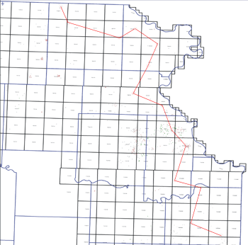
Four sequences are identified in the Cherokee Group of the Forest City basin. Each sequence is identified from the presence of thick (20 150'), sharp-based sandstones interpreted as fluvial and estuarine filling of incised valleys on a cannibalized shelf. Paleoflow was generally to the south and southwest. Thin, discontinous (and almost impossible to correlate) coals such as the Tebo, Rowe, Dry Wood, “Aw” are likely high-stand systems tract coals. Extensive but thin coals such as the Mulky and Summit are also considered as part of the transgressive systems tract.. The Riverton, Bluejacket, Weir, and Mineral coals are identified as the thickest coals in each sequence and are associated with overlying relatively thick (3 4') “deep” water facies (usually black phosphatic shale) that are interpreted as maximum flooding intervals.
Click on above image for more detail
Click Here for a full size image (pdf format)
http://www.kgs.ku.edu/PRS/AAPG2005/forestcity/p3-01.html
Last Modified August 2005