Putting it all together
The integration of geoscience data by quantitative methods
Previous--Objectives--Geostatistics and Risk Assessment ||
Next--Polygonal Estimation Method
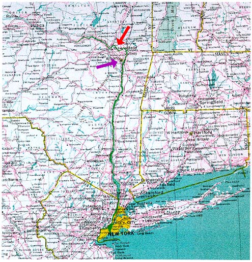
Map Showing Part of New York and Adjacent States and the Hudson River
Previous--Objectives--Geostatistics and Risk Assessment ||
Next--Polygonal Estimation Method